Saratoga, Wisconsin facts for kids
Quick facts for kids
Saratoga, Wisconsin
|
|
|---|---|

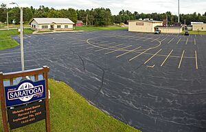
Town hall
|
|

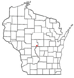
Location of Saratoga, Wisconsin
|
|
| Country | |
| State | |
| County | Wood |
| Area | |
| • Total | 51.2 sq mi (132.5 km2) |
| • Land | 49.4 sq mi (128.0 km2) |
| • Water | 1.8 sq mi (4.6 km2) |
| Elevation | 1,007 ft (307 m) |
| Population
(2000)
|
|
| • Total | 5,383 |
| • Density | 108.9/sq mi (42.1/km2) |
| Time zone | UTC-6 (Central (CST)) |
| • Summer (DST) | UTC-5 (CDT) |
| Area code(s) | 715 & 534 |
| FIPS code | 55-71600 |
| GNIS feature ID | 1584100 |
| PLSS township | parts of T21N R6E and T21N R5E east of the river |
| Website | http://www.saratogawisconsin.org |
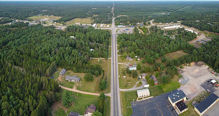
Saratoga is a town located in Wood County, Wisconsin, in the United States. In 2015, about 5,023 people lived there.
Contents
Saratoga's History
The western part of Saratoga was once known as the "Indian strip." The Menominee people sold this land to the U.S. government in 1836. This area, close to the Wisconsin River, was surveyed and logged early on.
Early Land Surveys
In 1839, a team from the U.S. government began surveying the land. They walked through the forests and crossed the river. They used tools like a chain and a compass to measure the area.
Later, in 1851, another team surveyed the section lines. They described the eastern part of the town as a "pine barren." They noted the soil was white sand and not good for farming. They also said the trees were "scrubby Pitch pines."
The town of Saratoga was officially created in 1857.
Geography of Saratoga
Saratoga covers a total area of about 51.2 square miles (132.5 square kilometers). Most of this area, 49.4 square miles (128.0 square kilometers), is land. The remaining 1.8 square miles (4.6 square kilometers) is water.
Who Lives in Saratoga?
In 2015, there were 5,023 people living in Saratoga. There were 2,011 households and 1,560 families. The town has a low population density, with about 104 people per square mile.
Most people in Saratoga are White (97.42%). Other groups include African American, Native American, and Asian people. Some residents are also from Hispanic or Latino backgrounds.
Households and Families
About 35.8% of households in Saratoga had children under 18 living with them. Most households (66.1%) were married couples living together. About 17.1% of households were individuals living alone.
The average household had 2.66 people. The average family had 2.99 people.
Age and Income
The population in Saratoga is spread across different age groups. About 26.3% of residents were under 18 years old. The median age in the town was 38 years.
The median income for a household in Saratoga was $48,500. For families, the median income was $52,750. The per capita income for the town was $18,761. A small number of families and people lived below the poverty line.
See also
 In Spanish: Saratoga (Wisconsin) para niños
 | Audre Lorde |
 | John Berry Meachum |
 | Ferdinand Lee Barnett |


