Seal Island (Encounter Bay) facts for kids
|
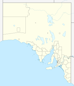
Location in South Australia
|
|
| Geography | |
|---|---|
| Location | Encounter Bay |
| Coordinates | 35°34′42″S 138°38′35″E / 35.578242°S 138.642964°E |
| Area | 1 ha (2.5 acres) |
| Highest elevation | 12 m (39 ft) |
| Administration | |
|
Australia
|
|
| Demographics | |
| Population | 0 |
Seal Island, also known as Seal Rock, is a small island in South Australia, a state in Australia. It's found in Encounter Bay, which is off the southern coast of the Fleurieu Peninsula. The island is about 2.7 kilometers (1.7 miles) south-east of a town called Victor Harbor. Seal Island is part of two special protected areas: the West Island Conservation Park and the Encounter Marine Park. These parks help keep nature safe.
Contents
What is Seal Island Like?
Seal Island is about 2.7 kilometers (1.7 miles) south-east of Victor Harbor. It's also about 3.7 kilometers (2.3 miles) east-north-east of a place called Rosetta Head, which many people know as The Bluff. The island is like a small mound made of granite rocks piled up. There isn't any soil on it. Seal Island rises about 12 meters (39 feet) above the sea. It is also known by its other name, Seal Rock.
Plants and Animals
In 1996, people looked at Seal Island and saw no plants growing there. The only animals with backbones they found were silver gulls. These gulls had a breeding colony on the island, meaning they were raising their young there.
Island's History and Name
The name "Seal Island" gives us a clue about its past. It suggests that Australian sea lions or New Zealand fur-seals might have lived on the island a long time ago. This would have been in the early 1800s.
Special Protected Areas
Seal Island has been part of the West Island Conservation Park since June 7, 1979. This park helps protect the land and its wildlife. Also, since 2012, the waters around Seal Island are part of the Encounter Marine Park. This marine park helps protect the ocean and the creatures that live in it.
 | Mary Eliza Mahoney |
 | Susie King Taylor |
 | Ida Gray |
 | Eliza Ann Grier |


