Sibley, Louisiana facts for kids
Quick facts for kids
Sibley, Louisiana
|
|
|---|---|
|
Town
|
|
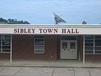
Sibley Town Hall at site of former Sibley High School
|
|
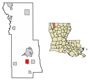
Location of Sibley in Webster Parish, Louisiana.
|
|
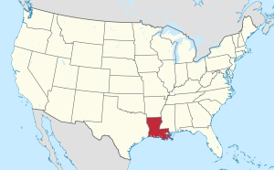
Location of Louisiana in the United States
|
|
| Country | United States |
| State | Louisiana |
| Parish | Webster |
| Area | |
| • Total | 4.00 sq mi (10.35 km2) |
| • Land | 3.89 sq mi (10.06 km2) |
| • Water | 0.11 sq mi (0.29 km2) |
| Elevation | 200 ft (60 m) |
| Population
(2020)
|
|
| • Total | 1,127 |
| • Density | 290.02/sq mi (111.98/km2) |
| Time zone | UTC-6 (CST) |
| • Summer (DST) | UTC-5 (CDT) |
| ZIP code |
71073
|
| Area code(s) | 318 |
| FIPS code | 22-70175 |
Sibley is a small town in southern Webster Parish, Louisiana, United States. In 2010, about 1,218 people lived there. It is part of the Minden area.
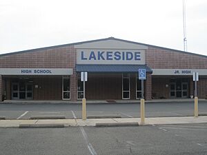
The old Sibley High School is now called Lakeside Junior/Senior High School. It is located south of town. The Sibley Town Hall moved into part of the old high school building.
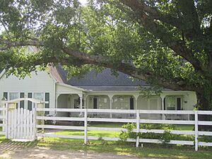
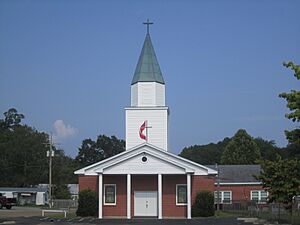
In a nearby area called Yellow Pine, there was a place known as "King Solomon Hill." This was a real hill where the King Solomon Hill Baptist Church stood. This community is now called "Salt Works." A historian named Gayle Dean Wardlow believed that Paramount Records gave the blues musician Joe Holmes, who lived in Sibley, the stage name King Solomon Hill because of this place.
Contents
Exploring Sibley's Location
Sibley is located at coordinates 32.540704 degrees North and 93.293208 degrees West.
The town covers a total area of about 4.0 square miles (10.4 square kilometers). Most of this area, about 3.9 square miles (10.0 square kilometers), is land. The remaining 0.1 square mile (0.4 square kilometers) is water.
Sibley's Population Over Time
| Historical population | |||
|---|---|---|---|
| Census | Pop. | %± | |
| 1920 | 900 | — | |
| 1930 | 422 | −53.1% | |
| 1940 | 405 | −4.0% | |
| 1950 | 623 | 53.8% | |
| 1960 | 595 | −4.5% | |
| 1970 | 869 | 46.1% | |
| 1980 | 1,211 | 39.4% | |
| 1990 | 997 | −17.7% | |
| 2000 | 1,098 | 10.1% | |
| 2010 | 1,218 | 10.9% | |
| 2020 | 1,127 | −7.5% | |
| U.S. Decennial Census | |||
| Group | Number of People | Percentage |
|---|---|---|
| White (not Hispanic) | 816 | 72.4% |
| Black or African American (not Hispanic) | 237 | 21.03% |
| Native American | 10 | 0.89% |
| Asian | 3 | 0.27% |
| Other/Mixed | 20 | 1.77% |
| Hispanic or Latino | 41 | 3.64% |
As of the 2020 United States census, Sibley had 1,127 people living there. There were 554 households and 396 families in the town.
Famous People from Sibley
- Provine Bradley (1907-1986), a baseball player in the Negro league.
See also
 In Spanish: Sibley (Luisiana) para niños
 | Bessie Coleman |
 | Spann Watson |
 | Jill E. Brown |
 | Sherman W. White |


