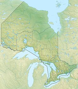
Summit Lake (Goudreau, Ontario) facts for kids
Quick facts for kids Summit Lake |
|
|---|---|
| Location | Goudreau, Unorganized North Part, Algoma District, Ontario |
| Coordinates | 48°15′49″N 84°31′51″W / 48.26361°N 84.53083°W |
| Primary inflows | McVeigh Creek from Spring Lake |
| Primary outflows | McVeigh Creek to Philip Lake |
| Basin countries | Canada |
| Max. length | 0.6 km (0.37 mi) |
| Max. width | 0.16 km (0.099 mi) |
| Surface elevation | 365 m (1,198 ft) |
Summit Lake is a beautiful lake located in Ontario, Canada. It is part of the larger Michipicoten River system. This lake is found in the Algoma District, specifically near a place called Goudreau.
Summit Lake is about 600 meters (about 1,968 feet) long. It is also around 160 meters (about 525 feet) wide. The lake sits at an elevation of 365 meters (about 1,198 feet) above sea level.
Contents
Water Flow: Inflow and Outflow
Lakes often have water flowing into them and out of them. This is how they stay fresh!
How Water Enters Summit Lake
The main stream that brings water into Summit Lake is called McVeigh Creek. This creek flows into Summit Lake from another nearby body of water, Spring Lake.
How Water Leaves Summit Lake
McVeigh Creek also carries water out of Summit Lake. From Summit Lake, the creek flows into Philip Lake. From Philip Lake, the water continues its journey through the Hawk River. Finally, it reaches the Michipicoten River, which then flows into the huge Lake Superior. This entire path of water is part of Lake Superior's "drainage basin." A drainage basin is like a giant funnel where all the rain and melted snow in an area eventually flow into one main river or lake.
Nearby Features
There are interesting things around Summit Lake too.
The Algoma Central Railway
Along the eastern side of Summit Lake, you can find the tracks of the Algoma Central Railway. This railway line runs right next to the lake. It's a cool sight to see trains passing by the water!
Other Summit Lakes
It's important to know that there is another lake also named Summit Lake in the Michipicoten River system. This other lake, called Summit Lake (Lochalsh River), is located about 28 kilometers (about 17 miles) northeast of this Summit Lake.


