Sunnyside, Nevada facts for kids
Quick facts for kids
Sunnyside, Nevada
|
|
|---|---|

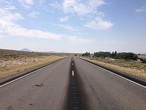
View south along SR 318 in Sunnyside
|
|
| Country | United States |
| State | Nevada |
| District | Nye County |
| Elevation | 5,328 ft (1,624 m) |
| Time zone | UTC-8 (Pacific) |
| • Summer (DST) | UTC-7 (PDT) |
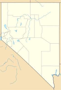
Sunnyside is a small, quiet community in eastern Nevada, USA. It is located in the White River Valley. Sunnyside is an "unincorporated community", which means it does not have its own local government like a city or town.
It sits near the southern end of the Egan Range mountains. You can find Sunnyside on State Route 318. The closest town is Lund, about 31 miles north. Hiko is about 63 miles south.
History of Sunnyside
Sunnyside began as a ranching area in the 1880s. A person named Mr. Horton started a ranch there.
Early Post Office
On July 10, 1880, a post office opened in Sunnyside. Mary Horton was the first postmaster. This post office served the entire White River Valley. It stayed open until January 31, 1933.
Changing Owners
In 1904, the Horton family sold their property to John Whipple. John Whipple also became the postmaster on September 27, 1917. By 1941, Sunnyside had a population of 27 people.
Later, John Whipple sold the property to his son, Clair. Clair Whipple continued to work the land. In 1962, the Whipple family sold the property to its current owners.
Local Attractions
Sunnyside is close to several reservoirs along the White River. These include Adams-McGill, Cold Springs, Hay Meadow, Tule Field, and Whipple reservoirs.
These reservoirs are all within 15 miles of Sunnyside. They are part of the Wayne E. Kirch Wildlife Management Area. This area is important for protecting local wildlife.
See also
 In Spanish: Sunnyside (Nevada) para niños
 | George Robert Carruthers |
 | Patricia Bath |
 | Jan Ernst Matzeliger |
 | Alexander Miles |


