The Cinders facts for kids
Quick facts for kids The Cinders |
|
|---|---|
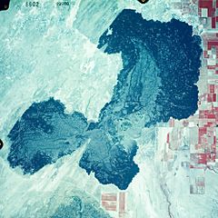
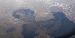
1981 air photo. Image is about 10.5 km wide.
|
|
| Highest point | |
| Elevation | 4,940 ft (1,510 m) |
| Geography | |
| Country | United States |
| State | Utah |
| Region | Black Rock Desert volcanic field |
| District | Millard County |
| Range coordinates | 38°54′36″N 112°31′56″W / 38.91000°N 112.53222°W |
| Topo map | USGS Tabernacle Hill, UT |
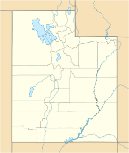
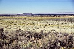
The Cinders is a cool area in west-central Utah, United States. It's a "lava field," which means it's covered in rock that came out of a volcano. This area also has a volcanic hill called Ice Springs craters. People sometimes call it the Ice Springs Volcanic Field.
What Are The Cinders?
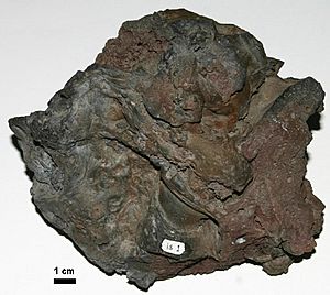
The Cinders are part of a bigger area called the Black Rock Desert volcanic field. The rocks you see at The Cinders are a type of volcanic rock called basalt. This basalt came out of the ground less than 700 years ago. That makes it the newest lava flow in all of Utah!
How The Cinders Formed
The basalt rock at The Cinders erupted from a spot called the Ice Springs craters. When lava cools down, it turns into rock. This happened a long time ago, but it's still considered "young" in geology terms.
South of The Cinders, there's another lava flow around a place called Tabernacle Hill. This one is a bit older than The Cinders.
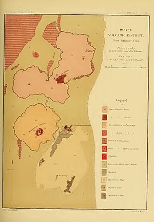
Scientists first mapped these lava flows a long time ago. Two geologists, Grove Karl Gilbert and Israel Russell, drew maps of The Cinders and Tabernacle Hill back in 1890.
 | Emma Amos |
 | Edward Mitchell Bannister |
 | Larry D. Alexander |
 | Ernie Barnes |


