Three Top Mountain (North Carolina) facts for kids
Quick facts for kids Three Top Mountain |
|
|---|---|
 |
|
| Highest point | |
| Elevation | 5,020 ft (1,530 m) |
| Prominence | 1,269 feet (387 m) |
| Geography | |
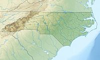
| Location | Ashe County, North Carolina, U.S. |
| Parent range | Blue Ridge Mountains |
| Topo map | USGS Warrensville |
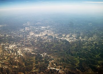
Three Top Mountain, also known as Three Tops, is a cool mountain located in the western part of North Carolina. It stands proudly near the town of West Jefferson. This mountain is part of the amazing Blue Ridge Mountains range.
Contents
What is Three Top Mountain?
Three Top Mountain gets its name because it has several high points, like different tops! Its tallest point is unofficially called "Big Rock." This peak reaches an elevation of 5,020 feet (1,530 m) above sea level. That's really tall!
More About Its Peaks
Besides "Big Rock," Three Top Mountain has ten other smaller peaks. These sub-peaks are all different heights, adding to the mountain's unique shape. Imagine a giant's hand with many knuckles – that's a bit like Three Top Mountain!
Where Does the Water Go?
The mountain is important for local water systems. It creates small streams that flow down its sides. These streams are called "feeder streams" because they feed into a larger river.
Connecting to the River
The feeder streams from Three Top Mountain flow into the North Fork New River. This river is a significant waterway in the area. It's cool to think that water starting high up on the mountain helps fill a big river!
 | Ernest Everett Just |
 | Mary Jackson |
 | Emmett Chappelle |
 | Marie Maynard Daly |


