Thyatira, Mississippi facts for kids
Quick facts for kids
Thyatira
|
|
|---|---|
| Country | United States |
| State | Mississippi |
| County | Tate |
| Elevation | 371 ft (113 m) |
| Time zone | UTC-6 (Central (CST)) |
| • Summer (DST) | UTC-5 (CDT) |
| ZIP code |
38668
|
| GNIS feature ID | 678741 |
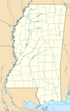
Thyatira is a small, unincorporated community. It is found in the eastern part of Tate County, in the state of Mississippi, United States. An unincorporated community means it's a place where people live, but it doesn't have its own local government like a city or town.
Contents
Exploring Thyatira's Location
Thyatira is located in a rural area of Mississippi. It is about 11 miles (18 km) east of Senatobia. Senatobia is the main town, or county seat, of Tate County.
Nearby Towns and Roads
The community is also about 21 miles (34 km) west of Holly Springs. Holly Springs is a larger town in Marshall County. The main road that goes through Thyatira is Mississippi Highway 4. This highway helps connect the community to other places.
How High is Thyatira?
Thyatira is located at an elevation of 371 feet (113 meters) above sea level. This means it is not very high up, but it is above the level of the ocean.
A Look at Local History
Thyatira is known for its historical churches. It is home to two of the oldest Churches of Christ in Mississippi. Both of these churches share the same name: Thyatira Church of Christ. These churches have been an important part of the community for a very long time.
 | Delilah Pierce |
 | Gordon Parks |
 | Augusta Savage |
 | Charles Ethan Porter |


