Turkey Creek, Florida facts for kids
Quick facts for kids
Turkey Creek, Florida
|
|
|---|---|
| Country | United States |
| State | Florida |
| County | Hillsborough |
| Time zone | UTC-5 (Eastern (EST)) |
| • Summer (DST) | UTC-4 (EDT) |
| ZIP codes |
33567
|
Turkey Creek is a quiet, countryside place in eastern Hillsborough County, Florida, in the United States. It's called an unincorporated community, which means it's a town that doesn't have its own local government. Instead, it's managed by the county. People living here use the 33527 ZIP Code for their mail.
Where is Turkey Creek Located?
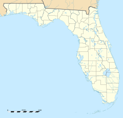
Turkey Creek is found at a specific spot on the map: 27.977 degrees North and 82.185 degrees West. This is about three miles (or five kilometers) west-southwest of a city called Plant City. The land in Turkey Creek is about 92 feet (or 28 meters) above sea level.
What are Turkey Creek's Borders?
The area known as Turkey Creek has clear boundaries. To the west, it borders Dover. To the north, you'll find Sydney Road. Mud Lake Road marks the eastern edge, and State Road 60 forms the southern border of this community.
 | Precious Adams |
 | Lauren Anderson |
 | Janet Collins |


