Turtle River (Georgia) facts for kids
Quick facts for kids Turtle River |
|
|---|---|

Turtle River
|
|
| Country | United States |
| US state | Georgia |
| Physical characteristics | |
| Length | 17.6 miles (28.3 km) |
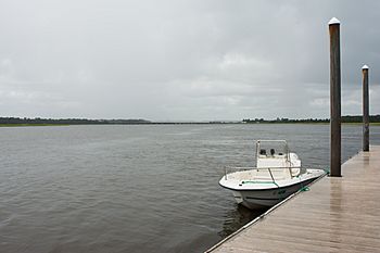
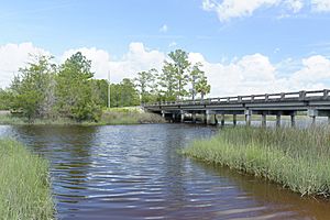
The Turtle River is a 17.6-mile-long (28.3 km) river in Glynn County, Georgia, near the city of Brunswick. It's a special kind of river called a tidal river. This means its water level changes with the ocean's tides, even though it's not directly the ocean. The Turtle River is the main stream that flows into the Brunswick River.
What is the Turtle River?
The Turtle River starts in a marshy area called the Turtle River Swamp. This swamp is close to a community named Georgetown and Georgia State Route 99. From there, the river flows mostly southeast and then east. It goes under a big highway called I-95 before it joins the Brunswick River. This meeting point is on the south side of Brunswick, Georgia.
Where Does the River End?
The end of the Turtle River is right next to the Port of Brunswick. A port is a place where ships load and unload goods. The river is quite deep, usually around 23 feet (about 7 meters). In some spots, it can be even deeper, over 35 feet (about 10.7 meters)!
Part of a Bigger Water System
The Turtle River is part of something called the Brunswick River Delta. A delta is a landform that is created at the mouth of a river where it flows into an ocean, sea, estuary, lake, or reservoir. This delta has many smaller streams and swamps. Some of these, like the Turtle River, are big enough for boats to travel on. Others are smaller streams and wetlands. These areas are full of life, including many fish, white shrimp, and other coastal animals.
 | Chris Smalls |
 | Fred Hampton |
 | Ralph Abernathy |


