Tybo, Nevada facts for kids
Quick facts for kids
Tybo, Nevada
|
|
|---|---|
| Country | United States |
| State | Nevada |
| County | Nye |
| Elevation | 6,588 ft (2,008 m) |
| Time zone | UTC-8 (Pacific (PST)) |
| • Summer (DST) | UTC-7 (PDT) |
| Area code(s) | 775 |
| GNIS feature ID | 856158 |
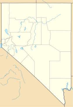
Tybo is a small, unincorporated community located in Nye County, Nevada, United States. It is about 8 miles (13 km) northwest of U.S. Route 6. This historic place was founded in the 1870s. It began as a busy town focused on mining for silver.
The name "Tybo" comes from the Shoshone word tybbabo or tai-vu. This word means "white man's district." Another spelling, "Tyboe," was seen on a map from 1871.
Contents
Tybo's Early Days
Tybo grew quickly in the 1870s. Many people moved there hoping to find silver. The town's population reached almost 1,000 residents. This was a large number for a mining town back then.
Life in a Mining Town
By the end of the 1870s, Tybo had many important services. It had its own school, so children could get an education. There was also a post office, which helped people send and receive letters. A local newspaper kept everyone informed about town news. These things show that Tybo was a lively and organized community.
Tybo Charcoal Kilns
One of the most interesting historical sites in Tybo is the Tybo Charcoal Kilns. These kilns are special ovens used to make charcoal. They are located right in Tybo.
What are Charcoal Kilns?
Charcoal kilns were very important for mining. Miners used charcoal to fuel their smelters. Smelters are large furnaces that melt down ore to get the valuable metals, like silver. The kilns would slowly burn wood to create charcoal. This charcoal burned hotter and cleaner than plain wood.
A Historic Landmark
The Tybo Charcoal Kilns are so important that they are listed on the National Register of Historic Places. This means they are recognized as a significant part of history. Protecting these kilns helps us remember the mining past of Nevada. They show how people lived and worked during the silver boom.
 | Selma Burke |
 | Pauline Powell Burns |
 | Frederick J. Brown |
 | Robert Blackburn |


