Ursine, Nevada facts for kids
Quick facts for kids
Ursine, Nevada
|
|
|---|---|
| Country | United States |
| State | Nevada |
| County | Lincoln |
| Area | |
| • Total | 4.34 sq mi (11.24 km2) |
| • Land | 4.34 sq mi (11.24 km2) |
| • Water | 0.00 sq mi (0.00 km2) |
| Population
(2020)
|
|
| • Total | 62 |
| • Density | 14.28/sq mi (5.51/km2) |
| Time zone | UTC-8 (Pacific (PST)) |
| • Summer (DST) | UTC-7 (PDT) |
| ZIP code |
89043
|
| FIPS code | 32-77200 |
| GNIS feature ID | 0858226 |
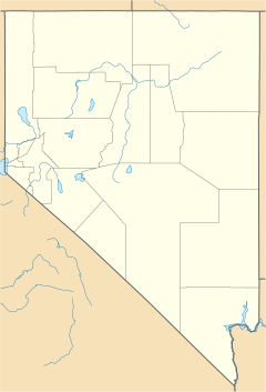
Ursine is a small community located in Lincoln County, Nevada, in the United States. It is known as a census-designated place, which means it's a special area defined for collecting population information.
This community is nestled in the foothills of the White Rock Mountains. It sits in Eagle Valley, not far from the Eagle Valley Reservoir and Spring Valley State Park.
Ursine once had its own post office, which opened in 1895 and operated until 1959. The community was named after the valley where it is found.
Understanding Ursine's Population
This section looks at the number of people who live in Ursine. This information is called "demographics." It helps us understand how communities grow or change over time.
| Historical population | |||
|---|---|---|---|
| Census | Pop. | %± | |
| 2020 | 62 | — | |
| U.S. Decennial Census | |||
According to the 2020 United States Census, 62 people lived in Ursine. This number helps us see how many residents call this unique Nevada community home.
See also
 In Spanish: Ursine (Nevada) para niños
 | William Lucy |
 | Charles Hayes |
 | Cleveland Robinson |


