White Rock Mountains facts for kids
Quick facts for kids White Rock Mountains |
|
|---|---|
| Highest point | |
| Peak | White Rock Peak |
| Elevation | 2,786 m (9,140 ft) |
| Geography | |
| Country | United States |
| State | Nevada |
| District | Lincoln County |
| Range coordinates | 38°14′55″N 114°6′11″W / 38.24861°N 114.10306°W |
| Topo map | USGS White Rock Peak |
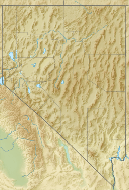
The White Rock Mountains are a mountain range in eastern Lincoln County, Nevada. Some parts of the range also stretch into Beaver and Iron counties in Utah. These mountains get their name because many of their rocks are white!
The highest point in the range is White Rock Peak, which stands tall at 2,786 meters (about 9,140 feet) above sea level.
Contents
Exploring the White Rock Mountains
The White Rock Mountains are located in a special part of the western United States. They are part of the Basin and Range Province, a huge area with many mountain ranges and valleys.
Where Are These Mountains?
To the west, the White Rock Mountains connect with the Wilson Creek Range. To the east, you'll find the Hamlin Valley, with the Indian Peak Range of Utah beyond it.
Southeast of the White Rock Mountains, they join up with the Paradise Mountains. These mountains are right on the border between Nevada and Utah.
Nearby Natural Wonders
There are some cool places close to the White Rock Mountains. Spring Valley State Park is a beautiful area with lots to explore. Eagle Reservoir, a large lake, is also nearby. Both of these are found in the Spring Valley, along the southwest side of the mountains.
The small community of Ursine is just a short distance from Eagle Reservoir.
Valleys and Waterways
A valley called Camp Valley separates the main parts of the White Rock and Wilson Creek ranges. This valley continues southeast and forms the beginning of the Meadow Valley Wash. This wash is a waterway that flows through Spring Valley and Eagle Valley.
The Volcanic Past of White Rock
The White Rock Mountains have an exciting volcanic history!
What is a Caldera?
A "caldera" is a large, bowl-shaped hollow that forms when the ground collapses after a huge volcanic eruption. It's like a giant crater left behind by a volcano.
A Big Eruption
The White Rock caldera is linked to these mountains. It was once the site of one of the largest volcanic eruptions in the Basin and Range Province. This means that long, long ago, a massive volcano erupted here, changing the landscape forever!
 | Toni Morrison |
 | Barack Obama |
 | Martin Luther King Jr. |
 | Ralph Bunche |


