Västervik Municipality facts for kids
Quick facts for kids
Västervik Municipality
Västerviks kommun
|
||
|---|---|---|

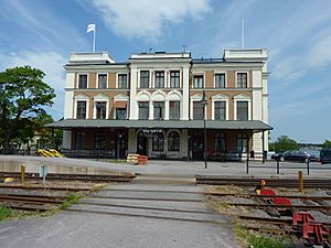
Västervik Railway Station
|
||
|
||
 |
||
| Country | Sweden | |
| County | Kalmar County | |
| Seat | Västervik | |
| Area | ||
| • Total | 3,605.95 km2 (1,392.27 sq mi) | |
| • Land | 1,881.91 km2 (726.61 sq mi) | |
| • Water | 1,724.04 km2 (665.66 sq mi) | |
| Area as of January 1, 2010. | ||
| Population
(June 30, 2012)
|
||
| • Total | 36,338 | |
| • Density | 10.07723/km2 (26.0999/sq mi) | |
| Time zone | UTC+1 (CET) | |
| • Summer (DST) | UTC+2 (CEST) | |
| ISO 3166 code | SE | |
| Province | Småland | |
| Municipal code | 0883 | |
| Website | www.vastervik.se | |
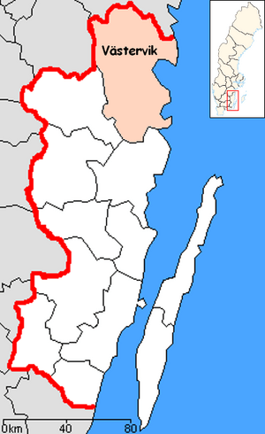
Västervik Municipality is a local government area in south-eastern Sweden. It is located in Kalmar County. The main town and administrative center is Västervik.
The municipality was formed in 1971. This happened when the old City of Västervik joined with eight smaller areas around it.
Towns and Villages in Västervik
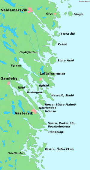
Västervik Municipality has 11 main urban areas. These are also called localities or tätorter in Swedish. They are places where many people live close together.
The table below shows these towns and villages. They are listed by how many people lived there in 2005. The main town, Västervik, is shown in bold.
| # | Locality | Population |
|---|---|---|
| 1 | Västervik | 20,694 |
| 2 | Gamleby | 2,805 |
| 3 | Ankarsrum | 1,337 |
| 4 | Överum | 1,270 |
| 5 | Gunnebo | 989 |
| 6 | Piperskärr | 462 |
| 7 | Loftahammar | 432 |
| 8 | Hjorted | 338 |
| 9 | Edsbruk | 311 |
| 10 | Totebo | 256 |
| 11 | Almvik | 202 |
Friends Around the World
Västervik Municipality has special connections with other towns and cities in different countries. These are called "twin towns" or "sister cities." They help people from different places learn about each other's cultures.
The municipality is twinned with these places:
See also
 In Spanish: Municipio de Västervik para niños
 | Laphonza Butler |
 | Daisy Bates |
 | Elizabeth Piper Ensley |


