Wairoa River (Northland) facts for kids
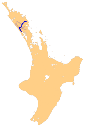
The Wairoa River is a long and important river in the Northland area of New Zealand. People sometimes call it the Northern Wairoa River. It flows for about 150 kilometers (93 miles) through the northern part of the North Auckland Peninsula.
This river is actually formed from two smaller rivers, the Mangakahia River and the Wairua River. These two rivers join together northeast of a town called Dargaville. Once they meet, they become the Wairoa River. It is the longest river in the Northland Region.
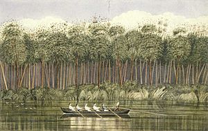
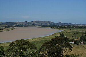
From where it forms, the Wairoa River first flows southwest, passing by Dargaville. Then, it turns and flows southeast for about 40 kilometers (25 miles). This part of the river is a wide estuary, which is where the river meets the sea. This estuary is easy to travel on by boat. The Wairoa River flows into the northern end of the Kaipara Harbour. For most of its length, the river is affected by the tides, meaning its water level goes up and down with the ocean tides.
See also
 In Spanish: Río Wairoa para niños
 | Calvin Brent |
 | Walter T. Bailey |
 | Martha Cassell Thompson |
 | Alberta Jeannette Cassell |


