Woodruff (CDP), Wisconsin facts for kids
Quick facts for kids
Woodruff, Wisconsin
|
|
|---|---|
|
Census-designated place
|
|

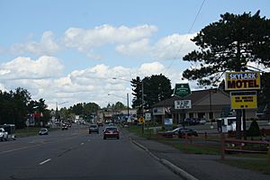
Downtown Woodruff
|
|
| Country | United States |
| State | Wisconsin |
| County | Oneida |
| Area | |
| • Total | 1.434 sq mi (3.71 km2) |
| • Land | 1.409 sq mi (3.65 km2) |
| • Water | 0.025 sq mi (0.06 km2) |
| Elevation | 1,608 ft (490 m) |
| Population
(2010)
|
|
| • Total | 966 |
| • Density | 673.6/sq mi (260.09/km2) |
| Time zone | UTC-6 (Central (CST)) |
| • Summer (DST) | UTC-5 (CDT) |
| ZIP code |
54568
|
| Area code(s) | 715 & 534 |
| GNIS feature ID | 1577018 |
Woodruff is a small community located in Oneida County, Wisconsin, United States. It is called a census-designated place, which means it is a specific area counted by the government for population information.
Contents
About Woodruff, Wisconsin
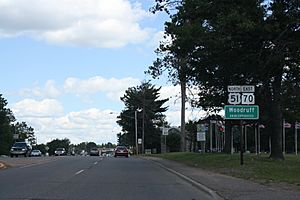
Woodruff is found where several important roads meet. These include U.S. Route 51, Wisconsin Highway 70, and Wisconsin Highway 47. It is about 22.5 miles (36.2 km) northwest of a city called Rhinelander.
Community Life in Woodruff
Even though it is a smaller place, Woodruff has its own post office with the ZIP code 54568. This helps people send and receive mail.
Population of Woodruff
According to the 2010 census, about 966 people live in Woodruff. This number helps us understand the size of the community.
Healthcare in Woodruff
Woodruff is home to the Howard Young Medical Center. This hospital is an important place for people in the area to get medical care when they need it.
See also
 In Spanish: Woodruff (condado de Oneida) para niños
 | Bayard Rustin |
 | Jeannette Carter |
 | Jeremiah A. Brown |


