Yankee Fork Salmon River facts for kids
Quick facts for kids Yankee Fork |
|
|---|---|

Yankee Fork Salmon River
|
|
|
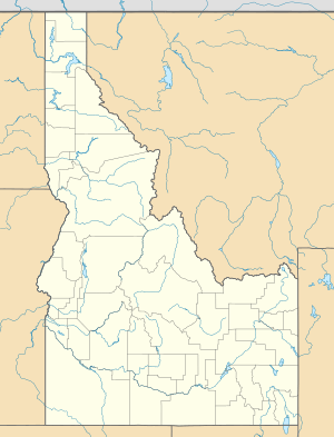
Location of the mouth of Yankee Fork Salmon River in Idaho
|
|
| Country | United States |
| State | Idaho |
| Physical characteristics | |
| Main source | Salmon River Mountains Salmon–Challis National Forest 8,600 ft (2,600 m) 44°30′59″N 114°36′17″W / 44.51639°N 114.60472°W |
| River mouth | Salmon River Near Stanley 5,915 ft (1,803 m) 44°16′11″N 114°44′04″W / 44.26972°N 114.73444°W |
| Length | 28 mi (45 km) |
| Basin features | |
| Basin size | 189 sq mi (490 km2) |
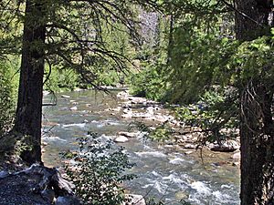
The Yankee Fork Salmon River is a cool river located in Idaho, United States. It's about 28-mile (45 km) long. This river is a "tributary," which means it flows into a bigger river. The Yankee Fork flows into the famous Salmon River.
About the Yankee Fork River
The Yankee Fork Salmon River is found in Custer County, Idaho. It's an important part of the natural landscape there. The river helps support local wildlife and plants.
Where It Begins and Ends
The Yankee Fork starts high up in the Salmon River Mountains. These mountains are part of a huge area called the Salmon-Challis National Forest. Imagine a tiny stream forming from melting snow or springs in the mountains.
From its start, the river flows south. It travels through beautiful forest areas. Finally, the Yankee Fork joins the Salmon River. This meeting point is near a place called Sunbeam. Sunbeam is about 10 miles (16 km) east of the town of Stanley.
Water Flow and Basin
The river's water comes from a large area called its "basin." The Yankee Fork's basin covers about 189 sq mi (490 km2). This means all the rain and snow that falls in this area eventually flows into the Yankee Fork.
The amount of water in the river changes throughout the year. It can be quite low at times. But during spring, when snow melts, the river can become very full and fast-moving.
 | James B. Knighten |
 | Azellia White |
 | Willa Brown |


