Ōhura River facts for kids
Quick facts for kids Ōhura River |
|
|---|---|
| Native name | Ōhura |
| Country | New Zealand |
| Region | Manawatū-Whanganui |
| District | Ruapehu |
| Settlements | Matiere |
| Physical characteristics | |
| Main source | Tangitu 680 m (2,230 ft) 38°38′38″S 175°14′28″E / 38.64389°S 175.24111°E |
| River mouth | Whanganui River 95 m (312 ft) 39°2′20″S 175°3′52″E / 39.03889°S 175.06444°E |
| Basin features | |
| Progression | Ōhura River → Whanganui River |
| River system | Whanganui River |
| Tributaries |
|
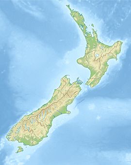
The Ōhura River is a river located in the western part of New Zealand's North Island. It flows south from its starting point near the town of Ōhura. This river eventually joins up with the larger Whanganui River.
About the Ōhura River
The Ōhura River is an important waterway in the Manawatū-Whanganui region of New Zealand. It is part of the Whanganui River system. The river helps shape the landscape as it flows through the Ruapehu District.
Where Does it Flow?
The Ōhura River begins high up in the hills. Its source is near a place called Tangitu, about 680 meters (2,230 feet) above sea level. From there, it flows generally southward. The river ends when it flows into the Whanganui River. This meeting point is much lower, at about 95 meters (312 feet) above sea level. One of its smaller rivers that flows into it is the Taumona River.
What's in a Name?
The name "Ōhura" comes from the Māori language. It means "uncovered spot" or "cleared area." This name likely describes the land where the river starts or flows through. In July 2020, the name of the river was officially confirmed. This was done by the New Zealand Geographic Board. They are the group responsible for making sure places in New Zealand have correct and official names.
 | Roy Wilkins |
 | John Lewis |
 | Linda Carol Brown |


