Abram Creek (West Virginia) facts for kids
Quick facts for kids Abram Creek |
|
|---|---|
| Other name(s) | Tributary to North Branch Potomac River |
| Country | United States |
| State | West Virginia |
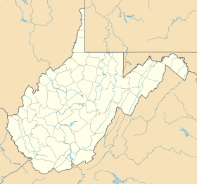
| County | Mineral Grant |
| Physical characteristics | |
| Main source | North Fork Lunice Creek divide about 0.1 miles south-southeast of Bismarck, West Virginia 2,920 ft (890 m) 39°12′37″N 079°13′41″W / 39.21028°N 79.22806°W |
| River mouth | North Branch Potomac River Harrison, West Virginia / Shallmar, Maryland 1,670 ft (510 m) 39°22′45″N 079°12′08″W / 39.37917°N 79.20222°W |
| Length | 18.35 mi (29.53 km) |
| Basin features | |
| Progression | generally north |
| River system | Potomac River |
| Basin size | 44.19 square miles (114.5 km2) |
| Tributaries |
|
| Bridges | US 48, WV 93, Sugar Grove Farm Road, WV 42, Bulldozer Road (x2), Jones Hollow, US 50, WV 2/3, WV 2, WV 2/2 |
Abram Creek is a stream about 19.4 miles (31.2 km) long. It flows into the North Branch Potomac River. You can find this creek in Grant and Mineral counties. These counties are located in the Eastern Panhandle of West Virginia.
Contents
What's in a Name?
In 1895, a group called the United States Board on Geographic Names officially decided the stream's name would be Abram Creek. However, this creek has been known by a few other names over time.
Some of its past names include:
- Abraham Creek
- Abrahams Creek
- Abram's Creek
- Abrams Creek
Where Does Abram Creek Flow?
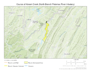
Abram Creek starts near a place called Bismarck, West Virginia. It begins about 0.1 miles (0.16 km) south-southeast of Bismarck. This is where the North Fork Lunice Creek divide is.
As it flows, other smaller streams join Abram Creek. These smaller streams are called tributaries. Some of Abram Creek's tributaries include:
- Laurel Run
- Glade Run
- Johnnycake Run
- Emory Creek
Finally, Abram Creek flows into the North Branch Potomac River. This happens near Harrison, West Virginia, which is right across from Shallmar, Maryland.
The Abram Creek Watershed
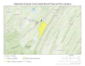
A watershed is an area of land where all the water drains into a single river or stream. The Abram Creek watershed covers about 44.19 square miles (114.4 km²).
This area gets a good amount of rain each year, about 43.2 inches (110 cm). A large part of the watershed, about 75.9%, is covered by forests. This means there are many trees and plants that help keep the water clean.
Maps of Abram Creek
Here are some maps to help you see Abram Creek's path and its watershed.
 | Chris Smalls |
 | Fred Hampton |
 | Ralph Abernathy |


