Albert Edward Bay facts for kids
Quick facts for kids Albert Edward Bay |
|
|---|---|
| Location | Eastern Victoria Island |
| Coordinates | 69°34′N 103°10′W / 69.567°N 103.167°W |
| River sources | Ekalluk River |
| Basin countries | Canada |
| Settlements | Uninhabited |
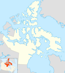
Albert Edward Bay is a large bay located in the Canadian Arctic. It is found on the southeast side of Victoria Island. This island is part of the vast Canadian Arctic Archipelago. The bay faces Victoria Strait to its east.
Contents
Where is Albert Edward Bay?
Albert Edward Bay is part of the Kitikmeot Region in Nunavut, Canada. It is a very remote area. The bay has several islands within it. The biggest island is Admiralty Island. This island sits right at the mouth of the bay. The northern edge of the bay is formed by the Collinson Peninsula.
Who is Albert Edward Bay named after?
This bay is named in honor of King Edward VII of the United Kingdom. He was a British king. Explorers often named new places after important people.
Who first explored Albert Edward Bay?
The first European to see Albert Edward Bay was John Rae (explorer). He was a Scottish Arctic explorer. Rae discovered the bay in 1851. Two years later, some men working for Richard Collinson also explored the area. Collinson was another British naval officer and Arctic explorer.
Who lived near Albert Edward Bay?
Albert Edward Bay is the traditional home of the Ekalluktogmiut people. They are a group of Copper Inuit. These Indigenous people lived along the Ekalluk River. This river flows into Albert Edward Bay. They have lived in this Arctic region for a very long time.
 | Percy Lavon Julian |
 | Katherine Johnson |
 | George Washington Carver |
 | Annie Easley |


