Athabasca Falls facts for kids
Quick facts for kids Athabasca Falls |
|
|---|---|
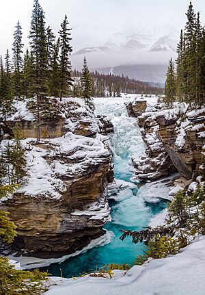
Winter falls in the late January
|
|
| Lua error in Module:Infobox_mapframe at line 185: attempt to index field 'wikibase' (a nil value). | |
| Location | Jasper National Park, Alberta, Canada |
| Coordinates | 52°39′51″N 117°53′01″W / 52.66417°N 117.88361°W |
| Type | Segmented Horsetails |
| Total height | 24 m (79 ft) |
| Number of drops | 2 |
| Longest drop | 20 m (66 ft) |
| Total width | 46 m (151 ft) |
| Average width | 30 m (98 ft) |
| Run | 15 m (49 ft) |
| Watercourse | Athabasca River |
| Average flow rate |
113 m3/s (4,000 cu ft/s) |
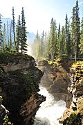
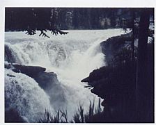
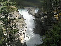
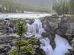
Athabasca Falls is a spectacular waterfall located in Jasper National Park in Alberta, Canada. It's found on the upper Athabasca River, about 30 kilometers south of the town of Jasper, Alberta. This amazing waterfall is just west of the famous Icefields Parkway.
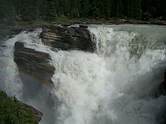
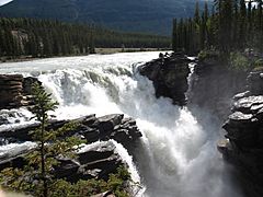
Athabasca Falls is well-known for its incredible power. Even though it's not the tallest waterfall, a huge amount of water rushes through its narrow gorge. This makes it a very impressive sight, especially when the river levels are high!
What Makes Athabasca Falls Special?
Athabasca Falls is a "Class 5" waterfall. This means it's a very powerful waterfall with a lot of water flowing over it. The falls drop about 24 meters (79 feet) and are about 46 meters (151 feet) wide.
The waterfall was formed by nature over many years. The Athabasca River flows over a very hard rock called quartzite. Below this hard rock, there's a softer rock called limestone. The powerful water has slowly worn away the softer limestone. This process has carved out a short, deep gorge and created many cool, round holes in the rock called potholes.
Visiting Athabasca Falls
It's easy and safe to visit Athabasca Falls. There are special viewing platforms and walking trails all around the falls. These spots let you see the waterfall from different angles and take great photos.
You can get to the falls from a nearby parking lot. This parking lot is just off Highway 93A, which is a smaller road connected to the main Icefields Parkway. Highway 93A crosses the falls as it heads north towards the town of Jasper.
If you're feeling adventurous, you can even go whitewater rafting! Many rafting trips start just below the falls. From there, you can float downstream on the Athabasca River all the way to Jasper. It's a thrilling way to experience the river!
Photo Gallery
Images for kids
 | Jackie Robinson |
 | Jack Johnson |
 | Althea Gibson |
 | Arthur Ashe |
 | Muhammad Ali |


