Barlow Branch (Blackbird Creek tributary) facts for kids
Quick facts for kids Barlow Branch |
|
|---|---|
|
Location of Barlow Branch mouth
|
|
| Other name(s) | Tributary to Blackbird Creek |
| Country | United States |
| State | Delaware |
| County | New Castle |
| Physical characteristics | |
| Main source | divide between Barlow Branch and Sassafras River just north of Ebenezer Church 75 ft (23 m) 39°22′06″N 075°43′36″W / 39.36833°N 75.72667°W |
| River mouth | Blackbird Creek Blackbird, Delaware 2 ft (0.61 m) 39°22′20″N 075°39′47″W / 39.37222°N 75.66306°W |
| Length | 1.98 mi (3.19 km) |
| Basin features | |
| Progression | southeast |
| River system | Blackbird Creek |
| Basin size | 7.6 square miles (20 km2) |
| Tributaries |
|
Barlow Branch is a small stream, about 1.98 mi (3.19 km) long. It flows into Blackbird Creek in New Castle County, Delaware. A "tributary" is a smaller stream or river that flows into a larger one. Barlow Branch is one of the main streams that feeds into Blackbird Creek before it reaches the ocean's tides.
Where Barlow Branch Flows
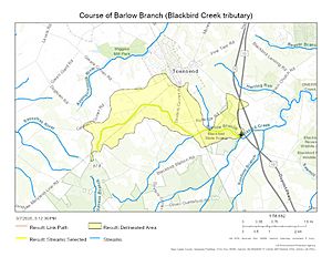
Barlow Branch begins near Ebenezer Church in Delaware. It starts on a high area of land that separates it from the Sassafras River. This high land is called a "divide." From there, the branch flows southeast until it joins Blackbird Creek near Blackbird, Delaware.
The Area Around Barlow Branch
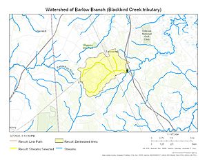
The land area that collects water for Barlow Branch is called its "watershed." This watershed covers about 7.60 square miles (19.7 km2). Each year, the area gets about 43.6 inches of rain and snow, which is called "precipitation." About 22.5% of the land in the watershed is covered by forests. This means a good portion of the area is natural woodland.
Maps of Barlow Branch
Here are some maps to help you see where Barlow Branch is located and the area it covers.
 | Sharif Bey |
 | Hale Woodruff |
 | Richmond Barthé |
 | Purvis Young |


