Beaver Creek (Camas Creek tributary) facts for kids
Quick facts for kids Beaver Creek |
|
|---|---|
|
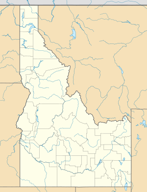
Location of the mouth of Beaver Creek in Idaho
|
|
| Country | United States |
| State | Idaho |
| Counties | Clark County, Idaho, Jefferson County, Idaho |
| Physical characteristics | |
| Main source | near Monida Pass, Clark County, Idaho 7,367 ft (2,245 m) 44°30′23″N 112°21′26″W / 44.50639°N 112.35722°W |
| River mouth | Camas Creek north of Hamer, Jefferson County, Idaho 4,810 ft (1,470 m) 43°59′21″N 112°14′19″W / 43.98917°N 112.23861°W |
| Length | 58 mi (93 km) |
Beaver Creek is a river in the U.S. state of Idaho. It flows for about 58 miles (93 kilometers). This river is a "tributary," which means it flows into another, larger stream. Beaver Creek joins Camas Creek.
Contents
Where Beaver Creek Flows
Beaver Creek starts high up in the mountains and flows generally south. It travels through different counties and towns in Idaho.
Starting High Up
The river begins near Monida Pass in northern Clark County, Idaho. This spot is very high up, at an elevation of about 7,367 feet (2,245 meters). Imagine starting your journey from a place that's taller than many mountains!
Journey Through Towns
As Beaver Creek flows south, it passes through several small communities. These include Humphrey, Spencer, and Dubois. All these towns are located in Clark County.
Reaching the End
After leaving Clark County, the river continues its journey into Jefferson County, Idaho. Finally, Beaver Creek reaches its "mouth" north of the town of Hamer. The mouth is where a river ends its journey by flowing into another body of water. At this point, the elevation is about 4,810 feet (1,466 meters).
River and Road
For almost its entire length, Beaver Creek flows roughly next to Interstate 15. This major highway runs parallel to the river. So, if you're driving on I-15 in Idaho, you might see parts of Beaver Creek flowing alongside you!
 | Charles R. Drew |
 | Benjamin Banneker |
 | Jane C. Wright |
 | Roger Arliner Young |


