Brantas River facts for kids
Quick facts for kids Brantas River |
|
|---|---|
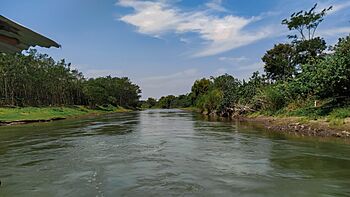
Brantas river, Kediri regency.
|
|
| Lua error in Module:Location_map at line 420: attempt to index field 'wikibase' (a nil value).
Location of river mouth
|
|
| Other name(s) | Kali Brantas, Sungai Brantas |
| Province | East Java |
| Physical characteristics | |
| Main source | Arjuno-Welirang |
| River mouth | Madura Strait |
| Length | 320 km (200 mi) |
| Basin features | |
| River system | Brantas Basin (DAS220228) |
| Basin size | 11,900 km2 (4,600 sq mi) |
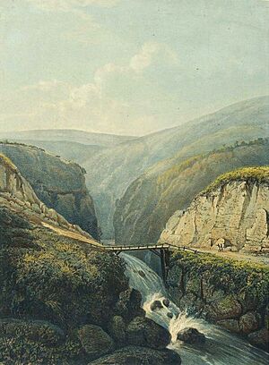
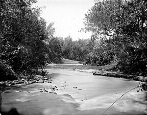
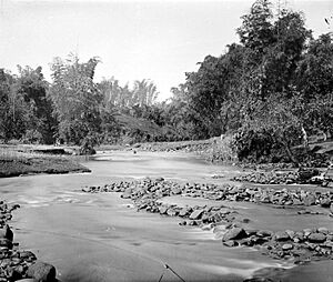
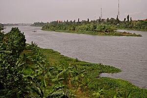
The Brantas River is the longest river in East Java, Indonesia. It stretches for 320 kilometers (about 200 miles). This river collects water from a huge area. This area is over 11,000 square kilometers (about 4,200 square miles).
The Brantas River starts on the southern slopes of several mountains. These include Mount Kawi-Kelud-Butak and Mount Wilis. It also gets water from the northern slopes of Mount Liman-Limas, Mount Welirang, and Mount Anjasmoro. The river's path is quite unique. It flows in a semi-circular or spiral shape. It starts by heading southeast, then slowly turns south. After that, it goes southwest, then west, and finally north. Near its end, it flows generally eastward. Here, it splits into two other rivers: the Kalimas and the Porong River.
Contents
Brantas River: A Look at Its History
The Brantas River has played an important role in history. Around 950 A.D., a king named Mpu Sindok moved his kingdom. He moved it from the Mataram Kingdom in Central Java. His new kingdom was built right on this river.
One big reason for this move might have been a volcanic eruption. Mount Merapi erupted, making his old kingdom unsafe. So, he moved his people to a new, safer place. This new location was near what is now the city of Madiun.
Cities and Regencies Along the Brantas River
Many important cities and areas are located along the Brantas River. These places rely on the river for water and transportation.
Here are some of the cities and regencies (regions) you can find along the Brantas River:
- Batu
- Malang Regency
- Malang
- Blitar Regency
- Blitar
- Tulungagung Regency
- Kediri Regency
- Kediri
- Nganjuk Regency
- Jombang Regency
- Mojokerto Regency
- Mojokerto
Brantas River's Climate and Surroundings
The area where the Brantas River flows has a tropical monsoon climate. This means it has warm temperatures all year round. It also has distinct wet and dry seasons. The average temperature in this region is about 26°C (79°F). October is usually the warmest month, with temperatures around 30°C (86°F). June is the coolest, averaging 24°C (75°F).
This region gets a lot of rain. The average yearly rainfall is about 2982 millimeters (117 inches). March is the wettest month, with around 496 millimeters (19.5 inches) of rain. August is the driest, with only about 28 millimeters (1.1 inches) of rain.
| Weather chart for Brantas River | |||||||||||||||||||||||||||||||||||||||||||||||
|---|---|---|---|---|---|---|---|---|---|---|---|---|---|---|---|---|---|---|---|---|---|---|---|---|---|---|---|---|---|---|---|---|---|---|---|---|---|---|---|---|---|---|---|---|---|---|---|
| J | F | M | A | M | J | J | A | S | O | N | D | ||||||||||||||||||||||||||||||||||||
|
459
28
21
|
453
27
22
|
496
27
21
|
282
28
22
|
144
29
22
|
175
27
20
|
65
29
20
|
28
32
20
|
35
35
21
|
111
37
22
|
295
35
23
|
439
30
21
|
||||||||||||||||||||||||||||||||||||
| temperatures in °C precipitation totals in mm |
|||||||||||||||||||||||||||||||||||||||||||||||
|
Imperial conversion
|
|||||||||||||||||||||||||||||||||||||||||||||||
More to Explore
If you want to learn more about rivers in Indonesia, check out these articles:
- List of rivers of Indonesia
- List of rivers of Java
- List of drainage basins of Indonesia
 | Emma Amos |
 | Edward Mitchell Bannister |
 | Larry D. Alexander |
 | Ernie Barnes |


