Canoe Lake (Scarfe Township) facts for kids
Quick facts for kids Canoe Lake (Blind River) |
|
|---|---|
| Location | Algoma District, Ontario |
| Coordinates | 46°16′49″N 83°02′20″W / 46.28028°N 83.03889°W |
| Basin countries | Canada |
| Max. length | 6 km (3.7 mi) |
| Max. width | 1.6 km (0.99 mi) |
| Surface elevation | 202 m (663 ft) |
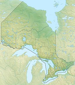
Canoe Lake is a cool lake located in Ontario, Canada. It's found in a region called Algoma District, about 10 kilometers (or 6 miles) north of the town of Blind River.
This lake has a unique shape, a bit like a squished letter "Z". The longer parts of the "Z" point from the northwest to the southeast. The northern part of the lake stretches for about 4.6 kilometers (2.9 miles), and the southern part is about 3 kilometers (1.9 miles) long. Overall, Canoe Lake covers an area of about 6 kilometers (3.7 miles) by 1.6 kilometers (1 mile).
About Canoe Lake
Canoe Lake is an important part of the local environment. It's a freshwater lake, meaning its water is not salty. It sits at an elevation of about 202 meters (663 feet) above sea level.
Water Flow
The main river that flows into and out of Canoe Lake is the Blind River. This river eventually leads all the way to Lake Huron, one of the Great Lakes.
At the point where the Blind River flows out of Canoe Lake, there's a small hydroelectric dam. This dam helps to control the water flow and can even generate electricity using the power of the moving water.
Other Canoe Lakes
It's interesting to know that there's another lake also called Canoe Lake in the Algoma District, a bit further east. That one is part of a different river system, the Serpent River. So, if you hear about Canoe Lake, it's good to know which one people are talking about!


