Canoe Lake (Syine Township) facts for kids
Quick facts for kids Canoe Lake |
|
|---|---|
| Location | Thunder Bay District, Ontario |
| Coordinates | 48°51′11″N 86°57′44″W / 48.85306°N 86.96222°W |
| Part of | Lake Superior drainage basin |
| Primary outflows | unnamed stream to Fishnet Creek |
| Basin countries | Canada |
| Max. length | 700 m (2,300 ft) |
| Max. width | 500 m (1,600 ft) |
| Surface elevation | 234 m (768 ft) |
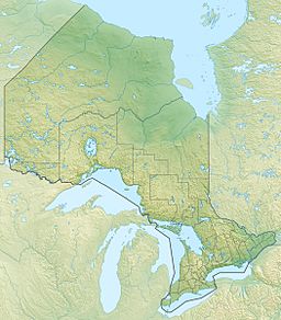
Canoe Lake is a beautiful lake located in the Thunder Bay District of Ontario, Canada. It's also known as lac Canoe in French. This lake is about 12.5 kilometers (7.8 miles) northeast of the town of Terrace Bay.
About Canoe Lake
Canoe Lake is a natural body of water. It is part of a larger system that eventually flows into Lake Superior. The lake is a great example of the many lakes found in the Canadian wilderness.
Where is Canoe Lake?
The lake is found in Syine Township. This area is part of the "Unorganized Part" of the Thunder Bay District. This means it's a rural area without its own local government.
Size and Features
Canoe Lake is about 700 meters (2,300 feet) long. It is also around 500 meters (1,600 feet) wide. The lake sits at an elevation of 234 meters (768 feet) above sea level.
Water Flow
The lake gets its water from several small streams. These streams are not named on maps. The water then flows out of Canoe Lake through an unnamed stream. This stream is a branch of Fishnet Creek. It leads to Jackfish Lake. From Jackfish Lake, the water travels through a short channel. This channel then empties into the vast Lake Superior.
Nearby Highway
Ontario Highway 17 runs along the northern edge of Canoe Lake. This highway is a major route in Ontario. It allows people to easily access the lake's area.


