Canyon Creek Mountains facts for kids
Quick facts for kids Canyon Creek Mountains |
|
|---|---|
| Highest point | |
| Peak | East Elk Mountain (Canyon Creek Mountains) |
| Elevation | 9,058 ft (2,761 m) |
| Dimensions | |
| Length | 10 mi (16 km) SW-NE |
| Width | 7 mi (11 km) |
| Geography | |
| Country | United States |
| State | New Mexico |
| Region | Gila National Forest Continental Divide of the Americas |
| District | Catron County, NM |
| Settlement | Collins Park, NM (Aragon, NM–Apache Creek, NM) |
| Range coordinates | 33°29′49″N 108°15′53″W / 33.497008°N 108.264776°W |
| Borders on | Elk Mountains-NW FR 30-(O Bar O Road)-N Gila Wilderness-S |
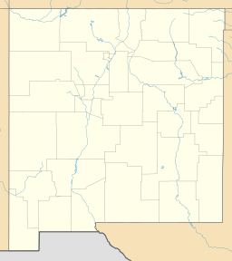
The Canyon Creek Mountains are a small mountain range in New Mexico, United States. They are about 10 miles (16 km) long. You can find them in the southeastern part of Catron County, New Mexico. This area is close to where the Gila River begins. The mountains are also just north of the Gila Wilderness, a large protected natural area. The Elk Mountains are next to them, to the northwest.
What Are the Canyon Creek Mountains Like?
This mountain range is not very long, stretching about 10 miles (16 km). It runs from the southwest to the northeast. The Canyon Creek Mountains connect with the eastern end of the Elk Mountains. The Elk Mountains then extend northwest towards the Continental Divide.
Important Peaks in the Range
The Canyon Creek Mountains have two main peaks.
- Cooney Point is in the southeast. It stands at 8,580 feet (2,615 meters) tall. This peak is a bit away from the main ridge of the mountains.
- East Elk Peak is the highest point in the range. It is located in the northeast and reaches 9,058 feet (2,761 meters) high. You can find East Elk Peak at coordinates 33.497008°N, 108.264776°W.
Where Does the Continental Divide Go?
The Continental Divide of the Americas is a special line. It separates the rivers that flow to the Pacific Ocean from those that flow to the Atlantic Ocean. Northwest of the Canyon Creek Mountains, the Continental Divide runs from east to west. It also passes northwest of the nearby Elk Mountains.
Forest Road 30, also known as O Bar O Road, is north of East Elk Peak. This road crosses the Continental Divide two times north of the Elk Mountains. Then, it runs alongside the divide as it goes through the Tularosa Mountains. Forest Road 30 ends at Apache Creek, New Mexico. There, it meets State Road 12 and State Road 32.
 | Charles R. Drew |
 | Benjamin Banneker |
 | Jane C. Wright |
 | Roger Arliner Young |


