Capay, California facts for kids
Quick facts for kids
Capay
|
|
|---|---|
| Country | United States |
| State | California |
| County | Yolo County |
| Elevation | 210 ft (64 m) |
| ZIP code |
95607
|
| Area code | 530 |
| GNIS feature ID | 220568 |
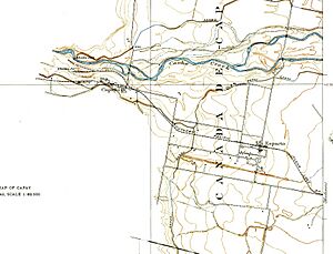
Capay is a small community in Yolo County, California. Its name, Kapai, comes from the Wintun language and means "Stream".
It is found near Cache Creek, about 2 miles (3.2 km) west of Esparto. Capay is located in the beautiful Capay Valley, in the northwestern part of Yolo County. The community is about 210 feet (64 meters) above sea level. Its ZIP Code is 95607, and its phone area code is 530.
History of Capay
Capay is built on land that was once part of a Mexican land grant called Rancho Cañada de Capay. The area was first settled by white people in 1857. A man named Munch built a house there, and the place was called Munchville.
Later, Mr. Empyre and Mr. Munch built a two-story building. The town's name then changed to Langville, after John A. Lang. In 1870, Lang ran a hotel and owned a brick yard and a store. Langville grew, and a town plan was officially filed on January 1, 1875. At this time, the town was renamed Capay. A post office also opened in Capay in 1868.
Climate in Capay
Capay has a typical Mediterranean climate. This means the region experiences hot, dry summers. The winters are cool and wet. On climate maps, this type of weather is often shown as "Csa".
See also
 In Spanish: Capay (condado de Yolo) para niños
 | Charles R. Drew |
 | Benjamin Banneker |
 | Jane C. Wright |
 | Roger Arliner Young |


