Casummit Lake (Ontario) facts for kids
Quick facts for kids Summit Lake |
|
|---|---|
| Location | Kenora District, Ontario |
| Coordinates | 51°28′34″N 92°22′17″W / 51.47611°N 92.37139°W |
| Type | Lake |
| Part of | James Bay drainage basin |
| Primary inflows | Two unnamed creeks |
| Primary outflows | Casummit Creek to Birch Lake |
| Basin countries | Canada |
| Max. length | 2.8 km (1.7 mi) |
| Max. width | 2.7 km (1.7 mi) |
| Surface elevation | 391 m (1,283 ft) |
| Settlements | Casummit |
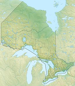
Casummit Lake is a lake located in the Kenora District of Ontario, Canada. It is about 110 kilometers (68 miles) northeast of the town of Red Lake. A small community called Casummit and a mine are found on the northeast side of the lake. There is also a cabin for fishing trips on the north shore.
About Casummit Lake
Casummit Lake is about 2.8 kilometers (1.7 miles) long and 2.7 kilometers (1.7 miles) wide. It sits at an elevation of 391 meters (1,283 feet) above sea level. There is a large, unnamed island right in the middle of the lake.
Water Flow and Connections
Water flows into Casummit Lake from two unnamed creeks. One creek comes from Joneston Lake in the northwest. The other creek flows from Richardson Lake in the northeast.
The main way water leaves Casummit Lake is through Casummit Creek. This creek flows into Birch Lake from the southeast end of Casummit Lake. From Birch Lake, the water travels through several rivers. These include the Birch River, the Cat River, and finally the Albany River. All this water eventually reaches James Bay.
Portage Route
A portage is a path where boats or canoes are carried over land between two bodies of water. There is a portage trail near the Casummit Creek outlet. This trail also leads to Birch Lake. It helps people travel between the two lakes without having to paddle all the way around.


