Cedar Lake (Kenora District) facts for kids
Quick facts for kids Cedar Lake |
|
|---|---|
| Location | Kenora District, Ontario, Canada |
| Coordinates | 50°12′34″N 93°08′17″W / 50.20944°N 93.13806°W |
| Primary outflows | Cedar River |
| Max. length | 12.5 kilometres (7.8 mi) |
| Max. width | 12 kilometres (7 mi) |
| Surface elevation | 357 metres (1,171 ft) |
| Settlements | Camp Robinson |
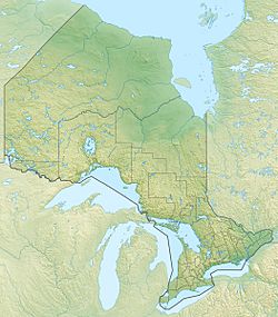
Cedar Lake is a lake located in the Kenora District of Ontario, Canada. It is part of a huge water system that eventually flows into Hudson Bay. This lake is found in the northwestern part of Ontario.
About Cedar Lake
Cedar Lake has an interesting, uneven shape. It has several large sections that stretch out like arms. The lake is about 12 kilometers (7.5 miles) wide from east to west. It is also about 12.5 kilometers (7.8 miles) long from north to south.
Water Flow in Cedar Lake
Water flows into Cedar Lake from a stream that starts at Double Lake, located to the south. This stream is not named on maps. The water then flows out of Cedar Lake through the Cedar River. This river leaves the lake from its northern side and flows into Church Lake.
Journey to Hudson Bay
The water from Cedar Lake travels a long way. After leaving Cedar Lake, the Cedar River joins the English River. The English River then flows into the Winnipeg River. Finally, the Winnipeg River connects to the Nelson River, which carries all this water to Hudson Bay. This entire path is called a drainage basin.
Nearby Places
There are a few interesting spots near Cedar Lake. The small community of Camp Robinson is located on the western side of the lake. This used to be a settlement. Also, Ontario Highway 105 runs along the western edge of Cedar Lake. This highway makes it easy to visit the area.


