
Chamberlain, South Dakota facts for kids
Quick facts for kids
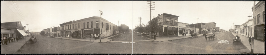
Chamberlain
Makȟáthipi (Lakota)
|
|
|---|---|

Akta Lakota Museum, 2003
|
|
| Motto(s):
"One day just isn't enough..."
|
|

Location in Brule County and the state of South Dakota
|
|
| Country | United States |
| State | South Dakota |
| County | Brule |
| Founded | 1881 |
| Area | |
| • Total | 5.67 sq mi (14.70 km2) |
| • Land | 4.48 sq mi (11.60 km2) |
| • Water | 1.20 sq mi (3.10 km2) |
| Elevation | 1,404 ft (428 m) |
| Population
(2020)
|
|
| • Total | 2,473 |
| • Density | 552.13/sq mi (213.16/km2) |
| Time zone | UTC−6 (Central (CST)) |
| • Summer (DST) | UTC−5 (CDT) |
| ZIP codes |
57325-57326
|
| Area code(s) | 605 |
| FIPS code | 46-11220 |
| GNIS feature ID | 1265153 |
| Website | {{}} |
Chamberlain is a city in Brule County, South Dakota, United States. It sits on the east side of the Missouri River. This part of the river is dammed, forming Lake Francis Case. You can find Chamberlain near where Interstate 90 crosses the river.
In 2020, about 2,473 people lived in Chamberlain. It is also the main town, or county seat, for Brule County. Chamberlain is special because it's home to the South Dakota Hall of Fame. A very tall statue called Dignity is also close by.
Contents
History of Chamberlain
Chamberlain got its name from Selah Chamberlain. He was a director for the Chicago, Milwaukee and St. Paul Railway. The city was started by European Americans when the railroad was being built. In the Lakota language, the city's name means "earth dwelling."
Geography and Climate
Chamberlain covers about 7.84 square miles (20.31 square kilometers). Most of this area is land, about 6.64 square miles (17.20 square kilometers). The rest, about 1.20 square miles (3.11 square kilometers), is water.
Weather in Chamberlain
Chamberlain has a varied climate with hot summers and cold winters. The hottest temperature ever recorded was 113°F (45°C) in July. The coldest temperature was -34°F (-37°C) in February.
The city gets about 24 inches (61 cm) of rain each year. It also gets about 43 inches (110 cm) of snow. Most of the rain falls in late spring and early summer.
People of Chamberlain
Chamberlain has grown over the years. In 1890, about 939 people lived there. By 2020, the population had grown to 2,473.
Who Lives in Chamberlain? (2010 Census)
In 2010, there were 2,386 people living in Chamberlain. Most residents, about 81.9%, were White. About 14.8% of the people were Native American. A small number were African American or Asian. About 1.5% of the population was Hispanic or Latino.
There were 1,040 homes in the city. About 28.3% of these homes had children under 18 living there. Many homes, 41.9%, were married couples living together. The average age of people in Chamberlain was 41.8 years old.
Local Economy
Chamberlain has some important natural resources. One example is the Chamberlain Manganese Deposits. Manganese is a metal used in making steel and other products.
Education in Chamberlain
Students in Chamberlain attend schools in the Chamberlain School District. Just outside the city, there is also St. Joseph's Indian School. This school helps Native American children.
Getting Around Chamberlain
Chamberlain has good ways to travel. The Chamberlain Municipal Airport serves the city for air travel. Several major highways also pass through or near Chamberlain.
- Interstate 90 (I-90)
- Interstate 90 Business Loop (BL 90)
- South Dakota Highway 50 (SD 50)
See also
 In Spanish: Chamberlain (Dakota del Sur) para niños
