Daisy Lake (Algoma District) facts for kids
Quick facts for kids Daisy Lake |
|
|---|---|
| Location | Algoma, Ontario, Canada |
| Coordinates | 47°43′36″N 84°09′50″W / 47.72667°N 84.16389°W |
| Type | Lake |
| Primary inflows | Daisy Creek |
| Max. length | 3 km (1.9 mi) |
| Max. width | 1.7 km (1.1 mi) |
| Surface elevation | 445 m (1,460 ft) |
Daisy Lake is a beautiful lake located in the Algoma District of Ontario, Canada. It's part of a large area where water flows towards Lake Superior, one of the Great Lakes.
Discover Daisy Lake
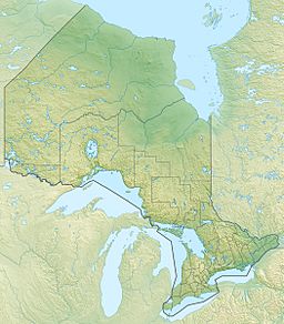
Daisy Lake is found in the northern part of the Algoma District in Ontario, Canada. It is in an area called the Unorganized North Part. This means it's a wilder area without big towns.
Where is Daisy Lake?
The lake is about 54 kilometers (34 miles) southeast of a town called Wawa. It sits quite high up, at about 445 meters (1,460 feet) above sea level.
Daisy Lake is fairly large. It stretches about 3 kilometers (1.9 miles) long. It is also about 1.7 kilometers (1.1 miles) wide.
How Water Moves Through Daisy Lake
Water flows into Daisy Lake from different places. One important stream that feeds the lake is called Daisy Creek. This creek flows into the lake from the southwest side. There is also another small stream that flows into the lake from the north.
The main way water leaves Daisy Lake is also through Daisy Creek. This creek then flows into Shasta Creek. Shasta Creek joins the Jackpine River. Finally, the Jackpine River flows into the Michipicoten River. All this water eventually reaches Lake Superior. This whole system is called a drainage basin. It means all the water in this area eventually drains into Lake Superior.


