Danco Island facts for kids

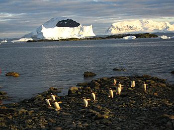
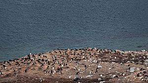
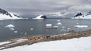
Danco Island, February 2009
|
|
|
Location in Antarctica
|
|
| Geography | |
|---|---|
| Location | Antarctica |
| Coordinates | 64°44′S 62°37′W / 64.733°S 62.617°W |
| Highest elevation | 131 m (430 ft) |
| Highest point | Danco Hill |
| Administration | |
| Administered under the Antarctic Treaty System | |
| Demographics | |
| Population | Uninhabited |
Danco Island is a small island located near Antarctica. It is also known as Isla Dedo. This island is about 2 kilometres (1 nmi) long. You can find it in the southern part of the Errera Channel. This channel is off the west coast of a place called Graham Land.
The island was first mapped by the Belgian Antarctic Expedition. This journey happened between 1897 and 1899. It was led by Adrien de Gerlache. Later, in 1955, the Falkland Islands Dependencies Survey explored Danco Island more closely. They were on a ship called the Norsel. The island was named by the UK Antarctic Place-names Committee. It honors Emile Danco. He was a Belgian geophysicist who explored with the Belgian expedition. Sadly, Emile Danco passed away on the ship Belgica while in Antarctica.
Contents
Exploring Danco Island: Station O
Danco Island was once home to a British research base. This base was known as Station O. It was an important spot for scientific work.
What was Station O's purpose?
Station O was active from February 26, 1956, to February 22, 1959. Scientists at the station focused on two main areas. They did surveys to map the area. They also studied the geology of the island. Geology is the study of Earth's physical structure and substances.
What happened to the station?
The main building at Station O was called Arendal. After the station closed, the British Antarctic Survey took action. In April 2004, they carefully took down and removed the hut. This helps keep the Antarctic environment clean.
See also
 In Spanish: Isla Danco para niños


