Deadwood Creek facts for kids
Quick facts for kids Deadwood Creek |
|
|---|---|
| Country | United States |
| State | Idaho |
| Region | Camas County |
| Physical characteristics | |
| Main source | Soldier Mountains Camas County 8,760 ft (2,670 m) 43°31′46″N 115°1′44″W / 43.52944°N 115.02889°W |
| River mouth | South Fork Boise River Camas County 5,125 ft (1,562 m) 43°35′8″N 115°0′27″W / 43.58556°N 115.00750°W |
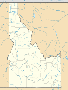
Deadwood Creek is a small stream located in the beautiful Sawtooth National Forest in Camas County, Idaho, United States. It's like a smaller helper stream, also known as a tributary, that flows into the South Fork Boise River. This bigger river then joins the Snake River, which eventually flows into the mighty Columbia River.
Journey of Deadwood Creek
Deadwood Creek begins its journey high up in the Soldier Mountains. From there, it flows north, making its way through the landscape. Its waters eventually meet and join the South Fork of the Boise River.
Where Does the Water Come From?
The creek gets its water from several places. High up in the mountains, you'll find a small, pretty lake called Heart Lake. This lake is one of the main sources for Deadwood Creek. The creek also collects water as it flows down the northern slopes of Iron Mountain. Plus, it receives water from two other lakes, Lower Deadwood Lake and Upper Deadwood Lake.
Exploring the Creek Area
If you like hiking, there are trails that follow Deadwood Creek for much of its length. These are known as Trails 054 and 091. They offer a great way to explore the area around the creek. However, it's good to know that there isn't a bridge where Deadwood Creek meets the South Fork Boise River. This means crossing the river to reach Forest Road 227 can be a bit tricky.
 | William L. Dawson |
 | W. E. B. Du Bois |
 | Harry Belafonte |


