Devils Paw facts for kids
Quick facts for kids Devils Paw |
|
|---|---|

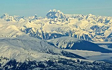
Aerial view from the south
|
|
| Highest point | |
| Elevation | 8,584 ft (2,616 m) |
| Prominence | 5,686 ft (1,733 m) |
| Listing | |
| Geography | |
| Location | Juneau City and Borough, Alaska, U.S. / Stikine Region, British Columbia, Canada |
| Parent range | Juneau Icefield / Boundary Ranges |
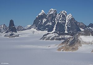
Devils Paw is a very tall mountain located on the border between Alaska in the United States and British Columbia in Canada. It's also known as Devil's Paw or Boundary Peak 93. This mountain is the highest point of the Juneau Icefield, which is a large ice cap. It's part of the Boundary Ranges, which are a group of mountains within the larger Coast Mountains.
Devils Paw is special because it rises very steeply from the land around it. Its height is about 8,584 feet (2,616 meters). Sometimes, its height is given as 8,507 feet (2,593 meters).
The mountain is found on the northeast side of the Juneau Icefield. The melted snow and ice from its northern slopes flow into Tulsequah Lake and the Tulsequah Glacier. The southern slope of Devils Paw forms the beginning of an area called "Hades Highway," which is the eastern edge of the Icefield.
To show how steep this peak is:
- Its north side drops about 7,000 feet (2,133 meters) over a distance of about three miles (4.8 km).
- Its southeast side drops about 8,000 feet (2,438 meters) over about seven miles (11.3 km).
Mountain Weather
The weather around Devils Paw is known as a subpolar oceanic climate. This means it has very long, cold, and snowy winters. The summers are cool. Temperatures can drop below −20 °C (which is −4 °F). With the wind, it can feel even colder, sometimes below −30 °C (which is −22 °F).
 | James Van Der Zee |
 | Alma Thomas |
 | Ellis Wilson |
 | Margaret Taylor-Burroughs |


