East Barre, Vermont facts for kids
Quick facts for kids
East Barre, Vermont
|
|
|---|---|

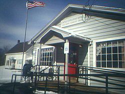
Post office in East Barre
|
|

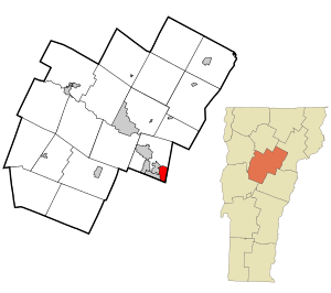
Location in Washington County and the state of Vermont
|
|
| Country | United States |
| State | Vermont |
| County | Washington |
| Area | |
| • Total | 2.69 sq mi (6.96 km2) |
| • Land | 2.67 sq mi (6.92 km2) |
| • Water | 0.02 sq mi (0.04 km2) |
| Elevation | 1,130 ft (340 m) |
| Population
(2010)
|
|
| • Total | 826 |
| • Density | 307.4/sq mi (118.68/km2) |
| Time zone | UTC-5 (Eastern (EST)) |
| • Summer (DST) | UTC-4 (EDT) |
| ZIP code |
05649
|
| Area code(s) | 802 |
| FIPS code | 50-19075 |
East Barre is a small community located in the state of Vermont, in the United States. It is known as a census-designated place (CDP). This means it is a specific area that the government counts for population surveys. East Barre is part of the larger town of Barre in Washington County.
In 2010, about 826 people lived in East Barre. Before 2010, East Barre was part of a bigger CDP called Graniteville-East Barre. This larger area included three small villages: Graniteville, East Barre, and Websterville.
About East Barre
East Barre is a quiet place in the beautiful state of Vermont. It offers a glimpse into small-town life. The community is surrounded by the natural beauty of Washington County.
Where is East Barre?
East Barre is located in the northeastern part of the United States. It is in the state of Vermont. Specifically, it is found within Washington County.
Land and Water
The United States Census Bureau collects information about places. They reported that East Barre covers an area of about 6.96 square kilometers (or 2.69 square miles). Most of this area is land. About 6.92 square kilometers (2.67 square miles) is land. A very small part, about 0.04 square kilometers (0.02 square miles), is water. This means only a tiny bit of East Barre is covered by water, about 0.52% of its total area.
See also
 In Spanish: East Barre para niños
 | Precious Adams |
 | Lauren Anderson |
 | Janet Collins |

