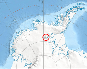
Location of Sentinel Range in Western Antarctica.
Enitsa Peak (Bulgarian: връх Еница, romanized: vrah Enitsa) is a tall, rocky mountain peak in Antarctica. It stands about 2,500 meters (8,200 feet) high. This peak is part of a ridge that stretches about 9 kilometers (5.6 miles) northeast from Mount Giovinetto. It is located in the north-central part of the Sentinel Range, which is a large mountain chain within the Ellsworth Mountains. Enitsa Peak stands above two large ice rivers, called glaciers: the Rumyana Glacier to its southeast and the Delyo Glacier to its northwest.
Where is Enitsa Peak?
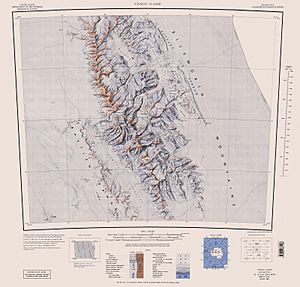
Enitsa Peak is found in a very cold place: the Ellsworth Mountains in Antarctica. Its exact location is 78°15′47″S 85°54′41″W / 78.26306°S 85.91139°W / -78.26306; -85.91139. It is about 5 kilometers (3.1 miles) northeast of Mount Giovinetto. Other nearby peaks include Mount Viets to the west, Mount Jumper to the east, Versinikia Peak to the southeast, and Evans Peak to the south. Maps of this area were first made by the United States in 1961 and updated in 1988.
How did it get its name?
Enitsa Peak was named after a small town called Enitsa in Northern Bulgaria. Many places in Antarctica have names from different countries around the world. This helps to honor the international teams who explore and study this icy continent.


