Fort McDermitt, Nevada facts for kids
Quick facts for kids
Fort McDermitt, Nevada
|
|
|---|---|
| Country | United States |
| State | Nevada |
| Area | |
| • Total | 17.97 sq mi (46.54 km2) |
| • Land | 17.97 sq mi (46.54 km2) |
| • Water | 0.00 sq mi (0.00 km2) |
| Elevation | 4,587 ft (1,398 m) |
| Population
(2020)
|
|
| • Total | 267 |
| • Density | 14.86/sq mi (5.74/km2) |
| Time zone | UTC-8 (Pacific (PST)) |
| • Summer (DST) | UTC-7 (PDT) |
| Area code(s) | 775 |
| FIPS code | 32-25490 |
| GNIS feature ID | 2583924 |
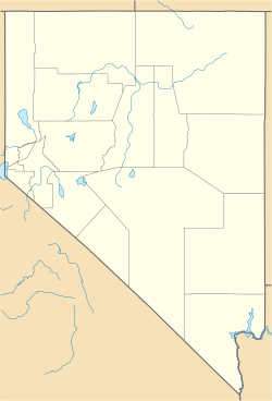
Fort McDermitt is a small community, also known as a census-designated place (CDP), located in Humboldt County, Nevada, in the United States. It's home to about 267 people, according to the 2020 census. This community is special because it's part of the Fort McDermitt Indian Reservation and is very close to another town called McDermitt.
Geography of Fort McDermitt
Fort McDermitt is located in the state of Nevada. The area of the community is about 46.4 square kilometers (or 17.97 square miles). All of this land is dry land; there are no large bodies of water within the community's boundaries.
A major road, U.S. Route 95, goes right through Fort McDermitt. This road connects the community to other places. If you travel north on U.S. Route 95, you can reach Oregon and the western part of Idaho. If you go south, you will find Winnemucca, Nevada, which is about 70 miles away.
Population and People
Fort McDermitt is a small community with a close-knit population. The number of people living here changes over time, just like in many places.
In 2010, the population was 341 people. By the year 2020, the number of residents was 267. This information comes from the official United States Census Bureau counts, which happen every ten years.
| Historical population | |||
|---|---|---|---|
| Census | Pop. | %± | |
| 2020 | 267 | — | |
| U.S. Decennial Census | |||
See also
 In Spanish: Fort McDermitt (Nevada) para niños
 | DeHart Hubbard |
 | Wilma Rudolph |
 | Jesse Owens |
 | Jackie Joyner-Kersee |
 | Major Taylor |


