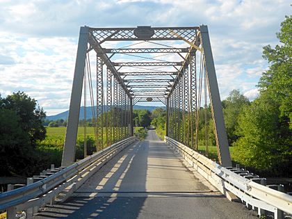
Frankstown Branch Juniata River facts for kids
The Frankstown Branch Juniata River is a cool river in Pennsylvania. It's about 46 miles (74 kilometers) long. This river flows through Blair and Huntingdon Counties. It's like a smaller stream that joins the bigger Juniata River.
Where the River Starts and Flows
The Frankstown Branch Juniata River begins high up. It starts on the slopes of the Allegheny Front mountains. This is south of the city of Altoona. The river officially forms near the village of Claysburg. Here, two smaller streams, Beaverdam Creek and South Poplar Run, meet.
From Claysburg, the river flows north. It runs along the western side of Dunning Mountain. It then passes just east of Hollidaysburg. The river briefly turns east before heading northeast. It follows the western side of Lock Mountain.
Next, the river turns southeast. It cuts through the mountain in a "water gap." This is a natural opening in the mountain. It then flows past Williamsburg. After that, it turns north again. It now runs along the western side of Tussey Mountain.
The river makes another turn to the east. It breaks through another water gap. Finally, it passes the town of Alexandria. Here, it joins with the Little Juniata River. Together, they form the main part of the Juniata River.
Warrior Ridge Dam
The Warrior Ridge Dam and Hydroelectric Plant is on the Frankstown Branch Juniata River. It's located in Logan Township and Porter Township. This dam helps control the river's flow. It also uses the river's power to make electricity. This process is called hydroelectric power.
Streams Joining the River
Many smaller streams flow into the Frankstown Branch Juniata River. These are called tributaries. They add water to the main river as it flows. Some of these important streams include:
- Clover Creek, near Cove Forge
- Piney Creek, west of Williamsburg
- Fox Run, which forms a border between Blair and Huntingdon Counties
- Roaring Run, found north of Mount Etna
- Yellow Spring Run, located south of Mount Etna
- Canoe Creek, which is dammed to create Canoe Lake inside Canoe Creek State Park
- Beaverdam Branch of the Juniata River, flowing in south of Frankstown
- Poplar Run, east of Newry
- McDonald Run, south of Newry
- Halter Creek, also south of Newry
- Polecat Run, north of Claysburg
- Pawpaw Run, south of East Freedom
- South Dry Run, at East Freedom
- Oldtown Run, from the West Loop area in Hollidaysburg
 | Charles R. Drew |
 | Benjamin Banneker |
 | Jane C. Wright |
 | Roger Arliner Young |


