Gabbs Valley Range facts for kids
Quick facts for kids Gabbs Valley Range |
|
|---|---|
| Highest point | |
| Elevation | 2,209 m (7,247 ft) |
| Naming | |
| Etymology | Gabbs Valley, which was named for scientist William More Gabb |
| Geography | |
| Country | United States |
| State | Nevada |
| District | Mineral County |
| Range coordinates | 38°40′19″N 118°11′07″W / 38.67194°N 118.18528°W |
| Topo map | USGS Mount Ferguson |
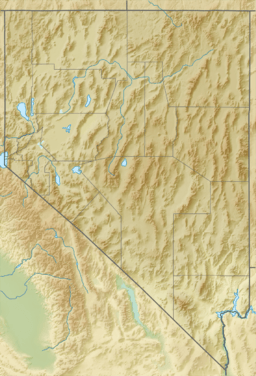
The Gabbs Valley Range is a group of mountains in the western part of central Nevada. It's located in the Great Basin, a large, dry area in the western United States. These mountains are found within Mineral County, Nevada.
The valley next to the range was named after an engineer named E. S. Gabbs.
What is the Gabbs Valley Range?
The Gabbs Valley Range is a mountain range, which means it's a long chain of mountains or hills. It's part of the Great Basin, a huge region where rivers and streams don't flow to the ocean. Instead, they drain into lakes or dry up.
The highest point in the Gabbs Valley Range is about 2,209 meters (7,247 feet) tall. That's taller than many big buildings!
How Did it Get Its Name?
The Gabbs Valley, which is next to the mountain range, was named after a scientist. His name was William More Gabb. He was an important geologist and paleontologist.
Geologists study rocks and the Earth's history. Paleontologists study fossils to learn about ancient life.
What is the Gabbs Watershed?
A watershed is like a giant bowl that collects all the water. The Gabbs Watershed is a large area where all the rain and snowmelt eventually flow into the same place. This area covers about 2,060 square miles (5,335 square kilometers).
The Gabbs Watershed includes the Gabbs Valley Range itself. It also includes the slopes of other mountain ranges around it. All the water that falls in this area drains towards the Gabbs Valley.
Scientists use a special code to identify watersheds. The Gabbs Watershed's code is 16060002. This helps them study how water moves across the land.
 | Selma Burke |
 | Pauline Powell Burns |
 | Frederick J. Brown |
 | Robert Blackburn |


