Gadloch facts for kids
Quick facts for kids Gadloch |
|
|---|---|
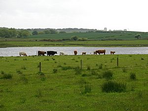
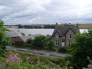
Highland cattle with the Gadloch in the background, viewed from the Crosshill Road direction
|
|
| Location | North Lanarkshire |
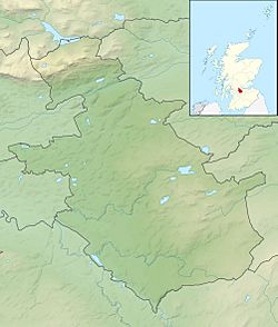
| Coordinates | 55°54′48″N 4°09′47″W / 55.913428°N 4.163132°W |
| Lake type | freshwater loch |
| Basin countries | Scotland |
| Surface area | 52 acres (21 hectares) |
| Average depth | 8 feet (2.4 metres) |
| Settlements | Auchinloch, Lenzie |
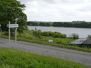
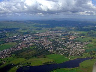
The Gadloch is a fresh water loch (which is the Scottish word for lake) located in North Lanarkshire, Scotland. It's also sometimes called Lenzie Loch because it's close to the town of Lenzie.
Just south of the loch is a small village called Auchinloch. The name of this village means "Field of the Loch," showing how important the Gadloch has always been to the area.
History of Gadloch
The Gadloch used to be much bigger than it is today. Its size was reduced a long time ago when a special drainage tunnel was built. This tunnel helped to drain some of the water away.
There's an old story that says the tunnel was dug by French prisoners of war from the time of Napoleon. However, most people agree that the tunnel was actually built even before Napoleon's time.
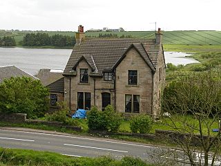
After the land was drained, it was used for farming. Farms were built at both the east and west ends of the loch. One of these, Easter Gadloch Farm, was built in the 1700s but has been empty for many years now.
Over time, the drainage tunnel has become damaged. This means that the water levels in the loch are slowly rising back up, getting closer to how high they used to be. Another farm, Parkhillhead Farm, looks over the loch from the south side.
Curling on the Loch
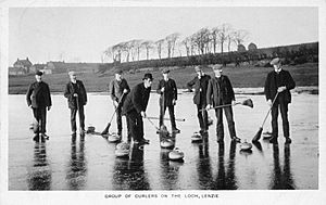
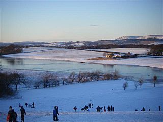
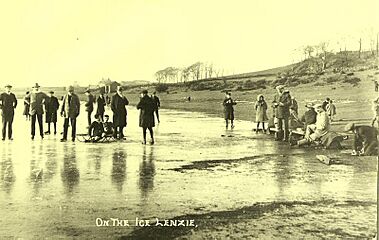
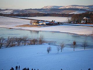
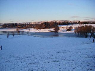
When winters are cold enough and the ice on the Gadloch gets very thick, people often use it for Curling. This sport has been played on the loch for many years.
There are old Postcards from 1910 that show people curling on the Gadloch. Even 100 years later, during the cold winter of 2010/2011, curlers were still active on the loch.
A local curling club, Cadder Curling Club, used to have its base right by the loch. Their clubhouse was an old railway wagon!
Wildlife at Gadloch
The Gadloch is a great spot for bird watchers. Many different kinds of birds live there. Sometimes, even rare birds or birds that don't usually live in Scotland are seen. These might be birds that have escaped from captivity.
For example, in the 1970s, people reported seeing white pelicans on the loch! This shows how interesting the wildlife at Gadloch can be.
Flooding Issues
Flooding from the Gadloch has been a problem for many years, sometimes even causing nearby roads to close. In recent times, the old drainage tunnel has completely collapsed. This has made the water levels rise even more.
The rising water has flooded parts of the nearby Lenzie Golf Course. In 2011 and 2012, the flooding was so bad that four different parts of the golf course had to be completely rebuilt. The water spread over 200 metres onto the golf greens.
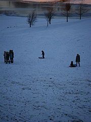
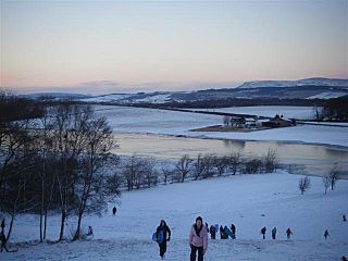
The high water levels have become such a big concern that the local Lenzie community council has a special section on its website to talk about the issue and keep people updated. During winter, when the loch freezes and floods, the path to Auchinloch can become covered in ice. It's important to be careful around the frozen water.
Gallery
-
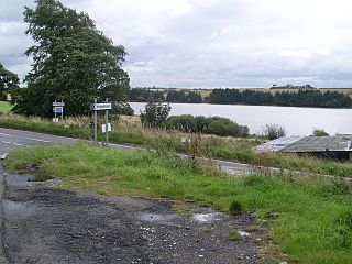
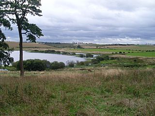
Southwest view across Gadloch Towards the distant Red Road Flats.
 | Jewel Prestage |
 | Ella Baker |
 | Fannie Lou Hamer |


