Gananoque River facts for kids
Quick facts for kids Gananoque River |
|
|---|---|

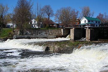
Gananoque River passing through the dam at Gananoque
|
|
|
Location of the mouth of the Gananoque River in southern Ontario
|
|
| Country | Canada |
| Province | Ontario |
| Region | Eastern Ontario |
| County | Leeds and Grenville United Counties |
| Physical characteristics | |
| Main source | Gananoque Lake Leeds and the Thousand Islands 82 m (269 ft) 44°26′16″N 76°08′55″W / 44.43778°N 76.14861°W |
| River mouth | Saint Lawrence River Gananoque 78 m (256 ft) 44°19′32″N 76°09′34″W / 44.32556°N 76.15944°W |
| Basin features | |
| River system | Atlantic Ocean drainage basin |
The Gananoque River is a river in Eastern Ontario, Canada. It flows through the Leeds and Grenville United Counties. This river is part of the huge Atlantic Ocean drainage basin. It flows into the famous Saint Lawrence River.
The name "Gananoque" has been spelled in many ways over time. People think it might mean "place of health" or "meeting place."
A group called the Gananoque River Waterways Association started in 1963. Its goal was to bring people together. They wanted to protect wildlife and keep the water clean. They also worked to make sure water levels were fair for everyone. This helped people use the river for things like boating and fishing.
Where Does the Gananoque River Flow?
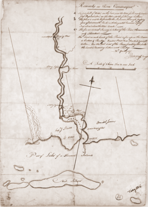
The Gananoque River starts at Gananoque Lake. This lake is in the township of Leeds and the Thousand Islands. From there, the river flows south. It passes through a small community called Marble Rock. Then, it turns southwest and reaches Maple Grove.
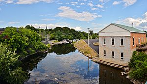
The river continues south and meets a smaller stream called Mud Creek. It then flows under Ontario Highway 401. Finally, it enters the town of Gananoque. In town, the river flows over a concrete dam. This dam is part of the Gananoque Generating Station, which has been making electricity since 1939. After the dam, the river empties into the Saint Lawrence River. This area is known for its beautiful Thousand Islands.
How the River's Path Changed Over Time
Long ago, the Gananoque River's watershed was different. Water from lakes like Birch and Devil Lake used to flow into it. This water would go through rapids and into the White Fish River. The White Fish River then flowed into Lower Beverley Lake and finally into the Gananoque River.
Native people used this route as a canoe path. It connected the Ottawa River to the St. Lawrence River at Gananoque. There wasn't a direct water path to the Cataraqui River back then.
Around 1803, two brothers, Lemuel and Carey Haskins, built a dam. This dam was on the White Fish River. It caused water to back up and flow towards the Cataraqui River. Later, they built another dam. This made the Cataraqui River navigable by canoe.
When the Rideau Canal was built (from 1826 to 1832), new dams were made. These dams changed the water flow even more. Now, most of the water that used to go to the Gananoque River is sent to the Cataraqui River. Today, only a small stream called Morton Creek is left of the original White Fish River.
 | Leon Lynch |
 | Milton P. Webster |
 | Ferdinand Smith |


