Gerila Glacier facts for kids
Quick facts for kids Gerila Glacier |
|
|---|---|

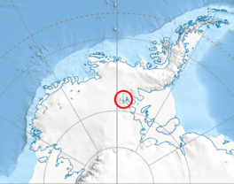
Location of Sentinel Range in Western Antarctica
|
|
| Location | Ellsworth Land |
| Coordinates | 78°12′25″S 86°02′00″W / 78.20694°S 86.03333°W |
| Length | 4 nautical miles (7.4 km; 4.6 mi) |
| Width | 1 nautical mile (1.9 km; 1.2 mi) |
| Thickness | unknown |
| Terminus | Ellen Glacier |
| Status | unknown |
Gerila Glacier (which is ледник Герила in Bulgarian) is a large river of ice located in Antarctica. It is about 4 nautical miles (about 7.4 kilometers) long and 1 nautical mile (about 1.8 kilometers) wide. This glacier is found on the eastern side of the main mountain range called the Sentinel Range, which is part of the Ellsworth Mountains.
Gerila Glacier is positioned to the north of Burdenis Glacier and to the south of Fonfon Glacier. It starts high up in the mountains, near a double-peaked mountain called Long Gables. From there, it flows towards the northeast. Eventually, it joins with other glaciers like Delyo Glacier and Burdenis Glacier to become part of the upper Ellen Glacier, located north of Bruguière Peak.
This glacier was named after the Gerila River, which is a river in northeastern Bulgaria.
Where is Gerila Glacier?
Gerila Glacier is located in a part of Antarctica called Ellsworth Land. Its exact spot is at 78 degrees, 12 minutes, 25 seconds South latitude and 86 degrees, 2 minutes, 0 seconds West longitude. These numbers help scientists and explorers find its precise position on a map.
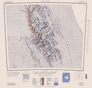
The United States created maps of this area in 1961 and again in 1988, helping us to understand where Gerila Glacier is.
 | Misty Copeland |
 | Raven Wilkinson |
 | Debra Austin |
 | Aesha Ash |


