Grass Valley, Nevada facts for kids
Quick facts for kids
Grass Valley, Nevada
|
|
|---|---|
| Country | United States |
| State | Nevada |
| Area | |
| • Total | 34.51 sq mi (89.38 km2) |
| • Land | 34.51 sq mi (89.38 km2) |
| • Water | 0.00 sq mi (0.00 km2) |
| Elevation | 4,390 ft (1,338 m) |
| Population
(2020)
|
|
| • Total | 991 |
| • Density | 28.72/sq mi (11.09/km2) |
| Time zone | UTC-8 (Pacific (PST)) |
| • Summer (DST) | UTC-7 (PDT) |
| Area code(s) | 775 |
| FIPS code | 32-30220 |
Grass Valley is a special kind of community in Nevada, United States. It's called a census-designated place (CDP). This means it's an area that looks like a town but doesn't have its own local government. The government counts people living there during a census.
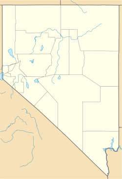
Grass Valley is located in the northeastern part of Pershing County. In 2020, about 991 people lived there.
Where is Grass Valley?
Grass Valley is about 10 miles (16 km) south of a larger town called Winnemucca. The community gets its name from the valley it sits in. This valley is about 5 miles (8 km) wide.
It's surrounded by mountains. To the east, you'll find the Sonoma Range. To the west, there's the East Range. A road called Nevada State Route 294 (also known as Grass Valley Road) connects Grass Valley to Winnemucca.
Land Area
The U.S. Census Bureau says that the Grass Valley CDP covers an area of about 34.51 square miles (89.4 square kilometers). All of this area is land; there are no large bodies of water within its boundaries.
Who Lives in Grass Valley?
The number of people living in Grass Valley changes over time.
Population Count
According to the 2020 census, the population of Grass Valley was 991 people. This number helps us understand how many people call this area home.
| Historical population | |||
|---|---|---|---|
| Census | Pop. | %± | |
| 2020 | 991 | — | |
| U.S. Decennial Census | |||
See also
 In Spanish: Grass Valley (Nevada) para niños


