Huntington Creek (Utah) facts for kids
Quick facts for kids Huntington Creek |
|
|---|---|

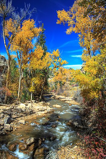
Fall colors along Huntington Creek,
October 2014 |
|
| Country | United States |
| County | Emery County |
| Physical characteristics | |
| Main source | Emery County 39°38′34″N 111°14′09″W / 39.642741°N 111.2357298°W |
| River mouth | Castle Valley (Carbon, Emery, and Sevier counties, Utah) 5,344 feet (1,629 m) 39°08′57″N 110°54′47″W / 39.1491394°N 110.9129440°W |
| Basin features | |
| Progression | San Rafael River |
Huntington Creek is a cool stream in Utah. It's a branch of the San Rafael River. This creek flows through Emery County. It's important for nature and for people too.
Contents
Exploring Huntington Creek
Huntington Creek is a special waterway in Utah. It's known for its beautiful scenery. The creek also plays a big role in the local area. It provides water for power and is a great place for outdoor fun.
Where Huntington Creek Begins
Huntington Creek starts high up in the mountains. It begins at a place called Electric Lake. This lake is on the Wasatch Plateau. This area is part of the Manti-La Sal National Forest. From there, the creek flows downhill. It makes its way to the flat lands of Castle Valley.
Water for Power and Farms
Electric Lake was built in 1974. Its main job is to control the water flow. This water is sent to the Huntington Power Plant. The plant uses the water to make electricity. So, the creek helps power homes and businesses. The water also helps local farms.
A Great Place for Fishing
Huntington Creek is a very popular spot for fishing. Many different kinds of fish live here. People enjoy coming to the creek to catch fish. It's a fun outdoor activity for families and friends.
 | Charles R. Drew |
 | Benjamin Banneker |
 | Jane C. Wright |
 | Roger Arliner Young |

