
Image: Dominican Republic location map

Size of this PNG preview of this SVG file: 737 × 600 pixels. Other resolution: 295 × 240 pixels.
Original image (SVG file, nominally 1,400 × 1,139 pixels, file size: 182 KB)
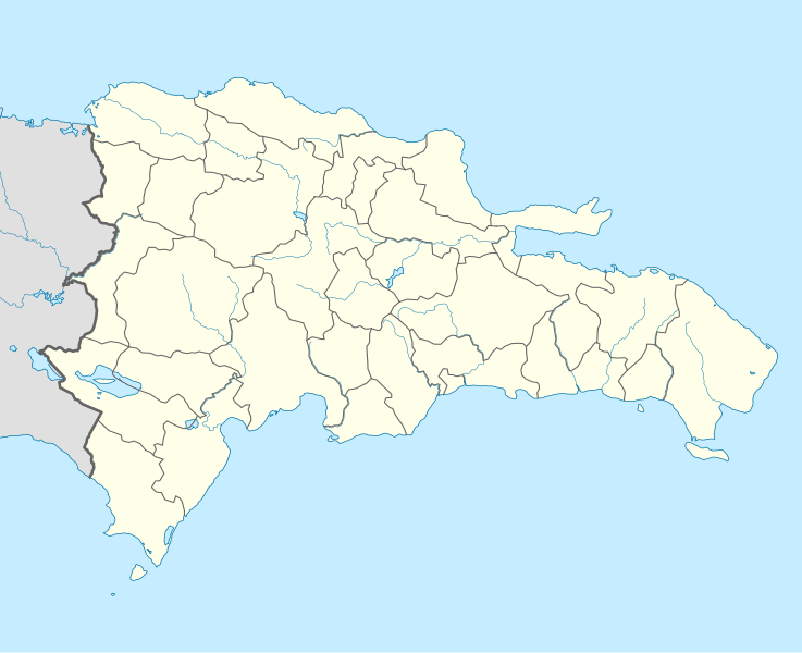
Description: Location map Dominican Republic with Provinces, Equirectangular projection, N/S stretching 105 %. Geographic limits of the map:
Title: Dominican Republic location map
Credit: Own work,VMAP0, http://www.one.gob.do, http://lib.utexas.edu/maps/dominican_republic.html
Author: Alexrk2
Usage Terms: Creative Commons Attribution-Share Alike 3.0
License: CC BY-SA 3.0
License Link: http://creativecommons.org/licenses/by-sa/3.0
Attribution Required?: Yes
Image usage
The following 21 pages link to this image:
- Arroyo Barril, Samaná
- Bahia de las Aguilas
- Beata Island
- Bonao
- Catalina Island (Dominican Republic)
- Ciudad Colonial (Santo Domingo)
- Cueva de las Maravillas National Park
- El Limón, Samaná
- Hato Mayor del Rey
- Las Galeras, Samaná
- Las Matas de Farfán
- Monción
- Parque Nacional Submarino La Caleta
- Sabaneta, Santiago Rodríguez
- Salcedo, Hermanas Mirabal
- Samaná Bay
- Samaná Peninsula
- San Juan de la Maguana
- Santa Cruz del Seibo
- Saona Island
- Template:Location map Dominican Republic

All content from Kiddle encyclopedia articles (including the article images and facts) can be freely used under Attribution-ShareAlike license, unless stated otherwise.