
Image: Isle of Man location map

Size of this PNG preview of this SVG file: 654 × 600 pixels. Other resolution: 262 × 240 pixels.
Original image (SVG file, nominally 1,200 × 1,100 pixels, file size: 93 KB)
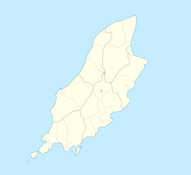
Description: Location map of the Isle of Man, showing sheadings as well as local authorities (towns, villages, districts, parishes). Geographic limits of the map: W: -4° 58' 0" E: -4° 7' 0" S: 54° 0' 0" N: 54° 27' 30"
Title: Isle of Man location map
Credit: IsleOfMan_SheadingsAndParishes-en.svg
Author: IsleOfMan_SheadingsAndParishes-en.svg: Sémhur derivative work: Entlinkt (talk)
Usage Terms: Creative Commons Attribution-Share Alike 3.0
License: CC-BY-SA-3.0
License Link: http://creativecommons.org/licenses/by-sa/3.0/
Attribution Required?: Yes
Image usage
The following 23 pages link to this image:
- Bahama Bank
- Balladoole
- Ballavarry Burial Mound
- Beinn-y-Phott
- Calf of Man
- Cashtal yn Ard
- Douglas, Isle of Man
- Dreswick Point
- HMS St George (shore establishment)
- King Orry's Grave
- Knock y Doonee
- Langness Peninsula
- Maughold Head
- Mount Murray
- Old St. Runius, Marown
- Point of Ayre
- Ramsey Bay
- Snaefell
- St. Ninian's Church, Douglas
- St Andrew's Church, Andreas, Isle of Man
- St George's Church, Isle of Man
- Sulby Reservoir
- Whitestone Bank

All content from Kiddle encyclopedia articles (including the article images and facts) can be freely used under Attribution-ShareAlike license, unless stated otherwise.