
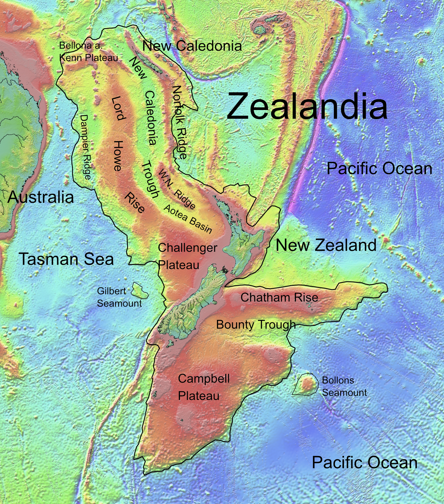
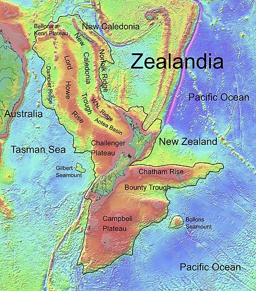
Image: Zealandia, topographic map
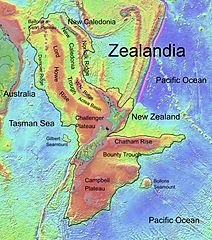
Size of this preview: 529 × 600 pixels. Other resolutions: 212 × 240 pixels | 1,500 × 1,700 pixels.
Original image (1,500 × 1,700 pixels, file size: 4.57 MB, MIME type: image/jpeg)
Description: Topographic map of Zealandia, based on bathmetry data from Scripps Institution of Oceanography, University of California, San Diego.Bordure is based on information which was given in: Nick Mortimer; Hamish Campbell (2014) Zealandia - Our Continent Revealed, London: Penguin Books, p. 54 ISBN: 978-0-143-57156-8.
Usage Terms: Public domain
Image usage
The following 8 pages link to this image:

All content from Kiddle encyclopedia articles (including the article images and facts) can be freely used under Attribution-ShareAlike license, unless stated otherwise.