Jack Elliott Creek facts for kids
Quick facts for kids Jack Elliott Creek |
|
|---|---|
|
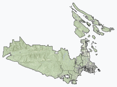
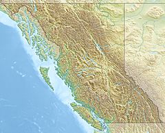
Location of the mouth of Jack Elliott Creek
|
|
| Country | Canada |
| Province | British Columbia |
| District | Capital Regional District |
| Physical characteristics | |
| Main source | unnamed slope 783 m (2,569 ft) 48°31′35″N 124°13′27″W / 48.52632848976881°N 124.22420262455019°W |
| River mouth | Loss Creek 117 m (384 ft) 48°29′33″N 124°16′00″W / 48.49250°N 124.26667°W |
Jack Elliott Creek is a small stream located in British Columbia, Canada. It flows through the beautiful southern part of Vancouver Island. This creek is a right tributary of Loss Creek, meaning it joins Loss Creek from the right side as you look downstream.
Where is Jack Elliott Creek?
Jack Elliott Creek is found in the Capital Regional District of British Columbia. This area is on the southern tip of Vancouver Island. The creek's journey ends within the Juan de Fuca Provincial Park. This park is a protected natural area.
The Creek's Path to Loss Creek
The creek starts high up on an unnamed slope of the San Juan Ridge. It begins at an elevation of about 783 metres (2,569 ft) (2,569 feet) above sea level. From there, it flows generally southwest.
As it travels, Jack Elliott Creek passes under British Columbia Highway 14. This highway connects different communities along the coast. The creek continues its flow until it meets Loss Creek. It joins Loss Creek at an elevation of about 117 metres (384 ft) (384 feet). This meeting point is southeast of the small community of Port Renfrew.
Loss Creek then carries the water from Jack Elliott Creek even further. Loss Creek eventually flows into the Strait of Juan de Fuca. This strait is a large body of water that connects to the mighty Pacific Ocean. So, the water from Jack Elliott Creek eventually makes its way to the vast ocean!
 | Selma Burke |
 | Pauline Powell Burns |
 | Frederick J. Brown |
 | Robert Blackburn |


