Loss Creek (Canada) facts for kids
Quick facts for kids Loss Creek |
|
|---|---|

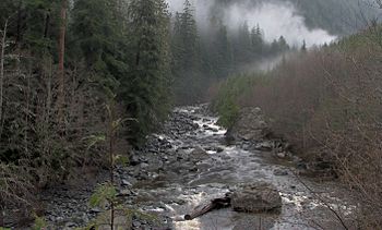
Loss Creek, at the mouth of the tributary Noyse Creek
|
|
|
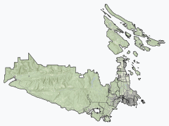
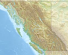
Location of the mouth of Loss Creek
|
|
| Country | Canada |
| Province | British Columbia |
| District | Capital Regional District |
| Physical characteristics | |
| Main source | unnamed confluence 507 m (1,663 ft) 48°29′47″N 124°06′04″W / 48.49639°N 124.10111°W |
| River mouth | Strait of Juan de Fuca 0 m (0 ft) 48°28′50″N 124°16′23″W / 48.48056°N 124.27306°W |
| Length | 16 km (9.9 mi) |
| Basin features | |
| Tributaries | |
Loss Creek is a stream located in British Columbia, Canada. It flows through a long, narrow valley on southern Vancouver Island. This creek eventually reaches the Strait of Juan de Fuca, which is part of the Pacific Ocean.
Contents
The Valley and Its Rocks
Loss Creek flows through a valley that is quite long, straight, and has steep sides. This valley lies between two ridges: Jordan Ridge to the south and San Juan Ridge to the north.
The Leech River Fault
The valley itself is actually the surface trace of a very important crack in the Earth's crust called the Leech River Fault. This fault is a major boundary where two different types of rock meet.
- To the south, you'll find dark, volcanic rocks called basalt. These rocks were formed from ancient lava flows.
- To the north, there are metamorphic rocks. These are rocks that have changed over time due to heat and pressure deep inside the Earth.
The Leech River Fault is straight because it used to be a strike-slip fault. This means the rocks on either side of the fault moved past each other horizontally, like two cars driving side-by-side. However, today, this fault is pushing one section of rock underneath Vancouver Island.
Gold in the Creek
As the rocks on the Pacific Rim side are pushed up, they start to wear away from wind and water. This process can sometimes release tiny bits of gold that were hidden in the rocks. These small pieces of gold then collect in the creek, forming what are called placer deposits.
Loss Creek's Path
Loss Creek starts high up in the mountains, at an elevation of about 507 meters (1,663 feet). It begins where two smaller streams meet, north of a place called Jordan River.
Journey to the Ocean
- The creek flows west for about 14 kilometers (8.7 miles).
- Along its path, it receives water from other streams that join it from the right side. These are Gain Creek and Noyse Creek.
- Loss Creek then passes under British Columbia Highway 14.
- Further along, it is joined by another right-side stream, Jack Elliott Creek.
- After this, the creek turns south and flows for about 2 kilometers (1.2 miles).
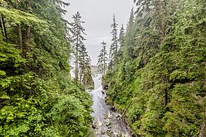
- It passes under a suspension bridge that is part of the Juan de Fuca Marine Trail.
- Finally, Loss Creek empties into the Strait of Juan de Fuca, which is part of the Pacific Ocean. This happens east of Sombrio Point and southeast of the town of Port Renfrew.
The lower parts of Loss Creek flow through Juan de Fuca Provincial Park, which helps protect this natural area.
Tributaries
Loss Creek has three main streams that flow into it from the right side. They are listed here starting from the one closest to the ocean and moving upstream:
- Jack Elliott Creek
- Noyse Creek
- Gain Creek
 | William L. Dawson |
 | W. E. B. Du Bois |
 | Harry Belafonte |


